Longview night lights from space
Night Light of Longview (Washington) from space (United States) Src. Average luminocity for 10x10km area is 54.6392% and for 50x50km: 3.7962%.
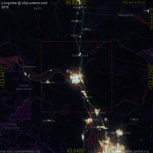
Analysis of Longview night lights 2016
Square area 10x10 km:
 12.5%
12.5%90-99
15.48%80-89
3.98%70-79
6.11%60-69
4.97%50-59
6.82%40-49
6.53%30-39
8.95%20-29
14.2%10-19
18.61%0-9
1.85%Square area 50x50 km:
0.64%90-99
0.84%80-89
0.28%70-79
0.37%60-69
0.28%50-59
0.4%40-49
0.52%30-39
0.51%20-29
0.94%10-19
2.6%0-9
92.6%Clear (daylight) street map image can be seen on geolist.org.
Map coordinates:
46° 37' 23.6" North, 123° 38' 28.7" West
46° 8' 17.4" North, 122° 56' 17.4" West
45° 38' 55.7" North, 122° 14' 6.2" West
Some cities around Longview sort by population:
• Battle Ground
50.6 km =31.4 mi,  141°
141°
• Saint Helens
32.1 km =19.9 mi,  161°
161°
• Kelso
2.5 km =1.6 mi,  67°
67°
• Mount Vista
50.7 km =31.5 mi,  152°
152°
• Scappoose
42.9 km =26.7 mi,  173°
173°
• Ridgefield
39 km =24.2 mi, 157°
• Woodland
30 km =18.6 mi, 150°
• West Side Highway
5.3 km =3.3 mi,  17°
17°
5801617 (p: 36,848)
Sources (retrieved 2019-11-25):
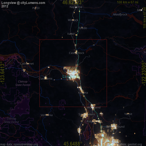
» Earth at Night: Flat Maps 2012, 2016