Kelso night lights from space
Night Light of Kelso (Washington) from space (United States) Src. Average luminocity for 10x10km area is 44.0412% and for 50x50km: 3.6771%.
Analysis of Kelso night lights 2016
Square area 10x10 km:
 10.23%
90-99
12.64%80-89
3.84%70-79
4.26%60-69
3.27%50-59
5.26%40-49
4.55%30-39
6.82%20-29
8.1%10-19
19.46%0-9
21.59%Square area 50x50 km:
0.64%90-99
0.81%80-89
0.23%70-79
0.35%60-69
0.28%50-59
0.4%40-49
0.52%30-39
0.51%20-29
0.94%10-19
2.59%0-9
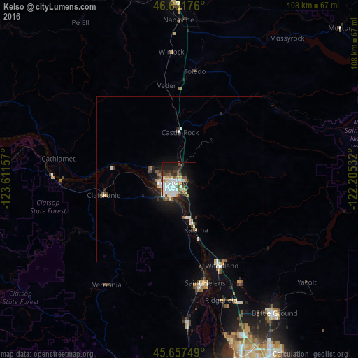
92.74%Clear (daylight) street map image can be seen on geolist.org.
Map coordinates:
46° 37' 54.3" North, 123° 36' 41.7" West
46° 8' 48.4" North, 122° 54' 30.4" West
45° 39' 27" North, 122° 12' 19.2" West
Some cities around Kelso sort by population:
• Longview
2.5 km =1.6 mi,  247°
247°
• Battle Ground
49.9 km =31 mi,  144°
144°
• Saint Helens
32.4 km =20.1 mi,  165°
165°
• Mount Vista
50.6 km =31.4 mi,  155°
155°
• Scappoose
43.7 km =27.2 mi,  176°
176°
• Ridgefield
39 km =24.2 mi, 160°
• Woodland
29.8 km =18.5 mi,  154°
154°
• West Side Highway
4.2 km =2.6 mi,  350°
350°
5799571 (p: 11,901)
Sources (retrieved 2019-11-25):
» Earth at Night: Flat Maps 2012, 2016