Hoquiam night lights from space
Night Light of Hoquiam (Washington) from space (United States) Src. Average luminocity for 10x10km area is 14.5114% and for 50x50km: 1.6329%.
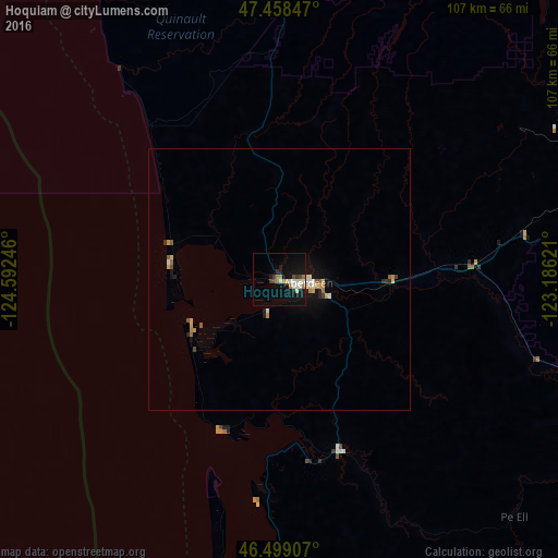
Analysis of Hoquiam night lights 2016
Square area 10x10 km:
 1.99%
1.99%90-99
2.7%80-89
1.56%70-79
0.57%60-69
3.41%50-59
0%40-49
1.7%30-39
1.56%20-29
1.85%10-19
18.47%0-9
66.19%Square area 50x50 km:
0.18%90-99
0.25%80-89
0.17%70-79
0.32%60-69
0.21%50-59
0.18%40-49
0.12%30-39
0.15%20-29
0.26%10-19
1.34%0-9
96.82%Clear (daylight) street map image can be seen on geolist.org.
Map coordinates:
47° 27' 30.5" North, 124° 35' 32.9" West
46° 58' 51.3" North, 123° 53' 21.6" West
46° 29' 56.7" North, 123° 11' 10.4" West
Some cities around Hoquiam sort by population:
• Olympia
75.2 km =46.7 mi,  85°
85°
• Lacey
81.1 km =50.4 mi, 85°
• Tumwater
74.4 km =46.2 mi, 87°
• Centralia
77 km =47.8 mi,  112°
112°
• Aberdeen
5.6 km =3.5 mi,  96°
96°
• Shelton
65.1 km =40.5 mi,  66°
66°
• Chehalis
78.8 km =49 mi,  116°
116°
• Ocean Shores
20.3 km =12.6 mi,  267°
267°
5797693 (p: 8,405)
Sources (retrieved 2019-11-25):
» Earth at Night: Flat Maps 2012, 2016