Ocean Shores night lights from space
Night Light of Ocean Shores (Washington) from space (United States) Src. Average luminocity for 10x10km area is 2.6435% and for 50x50km: 0.9627%.
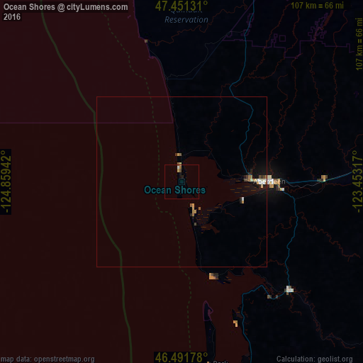
Analysis of Ocean Shores night lights 2016
Square area 10x10 km:
 0%
0%90-99
0.57%80-89
0.71%70-79
0.14%60-69
0.57%50-59
0.28%40-49
0.57%30-39
0%20-29
0.43%10-19
1.14%0-9
95.6%Square area 50x50 km:
0.09%90-99
0.14%80-89
0.11%70-79
0.15%60-69
0.17%50-59
0.11%40-49
0.11%30-39
0.09%20-29
0.15%10-19
0.79%0-9
98.1%Clear (daylight) street map image can be seen on geolist.org.
Map coordinates:
47° 27' 4.7" North, 124° 51' 33.9" West
46° 58' 25.3" North, 124° 9' 22.6" West
46° 29' 30.4" North, 123° 27' 11.4" West
Some cities around Ocean Shores sort by population:
• Olympia
95.5 km =59.3 mi,  85°
85°
• Tumwater
94.6 km =58.8 mi, 87°
• Centralia
95.8 km =59.5 mi,  107°
107°
• Aberdeen
25.8 km =16 mi, 89°
• Shelton
84.3 km =52.4 mi,  71°
71°
• Astoria
90.8 km =56.4 mi,  164°
164°
• Hoquiam
20.3 km =12.6 mi, 87°
• Warrenton
91.6 km =56.9 mi,  168°
168°
5805505 (p: 5,699)
Sources (retrieved 2019-11-25):
» Earth at Night: Flat Maps 2012, 2016