Walla Walla night lights from space
Night Light of Walla Walla (Washington) from space (United States) Src. Average luminocity for 10x10km area is 39.0256% and for 50x50km: 2.3634%.
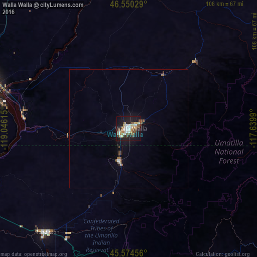
Analysis of Walla Walla night lights 2016
Square area 10x10 km:
 5.26%
5.26%90-99
9.38%80-89
4.4%70-79
4.55%60-69
3.41%50-59
7.53%40-49
5.97%30-39
1.99%20-29
8.24%10-19
37.93%0-9
11.36%Square area 50x50 km:
0.26%90-99
0.45%80-89
0.19%70-79
0.24%60-69
0.26%50-59
0.43%40-49
0.4%30-39
0.16%20-29
0.41%10-19
2.15%0-9
95.05%Clear (daylight) street map image can be seen on geolist.org.
Map coordinates:
46° 33' 1" North, 119° 2' 46.1" West
46° 3' 52.5" North, 118° 20' 34.9" West
45° 34' 28.4" North, 117° 38' 23.6" West
Some cities around Walla Walla sort by population:
• Kennewick
63.3 km =39.3 mi,  284°
284°
• Pasco
61.5 km =38.2 mi,  288°
288°
• Richland
76.5 km =47.5 mi, 288°
• Hermiston
77.3 km =48 mi,  251°
251°
• Pendleton
55.6 km =34.5 mi,  218°
218°
• College Place
3.9 km =2.4 mi,  244°
244°
• Milton-Freewater
15.1 km =9.4 mi,  193°
193°
• Finley
54.2 km =33.7 mi, 280°
5814916 (p: 32,237)
Sources (retrieved 2019-11-25):
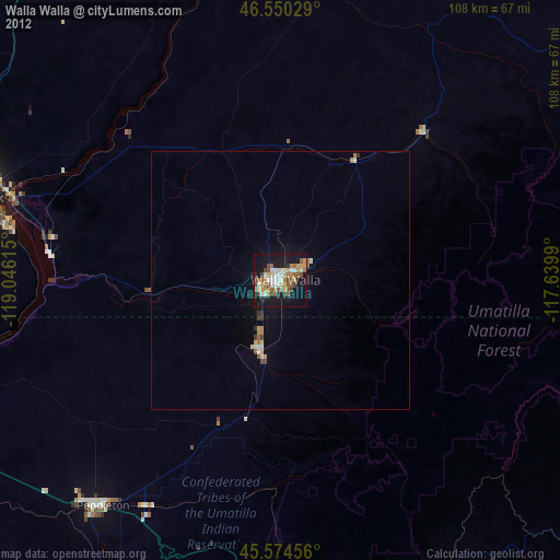
» Earth at Night: Flat Maps 2012, 2016