Milton-Freewater night lights from space
Night Light of Milton-Freewater (Oregon) from space (United States) Src. Average luminocity for 10x10km area is 8.3408% and for 50x50km: 2.3703%.
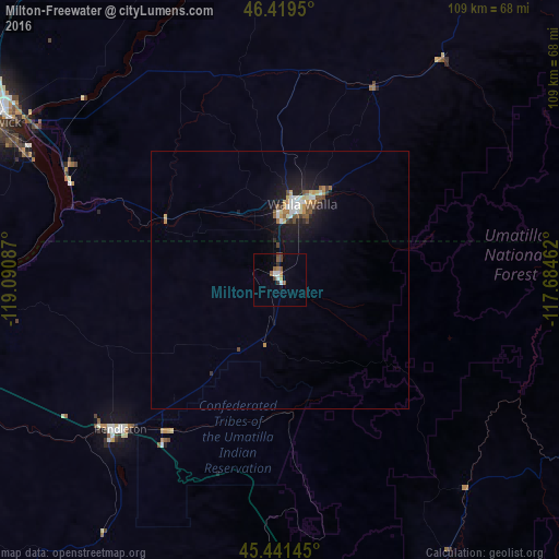
Analysis of Milton-Freewater night lights 2016
Square area 10x10 km:
 1.04%
1.04%90-99
1.34%80-89
0.15%70-79
1.04%60-69
0.89%50-59
2.68%40-49
1.79%30-39
0.74%20-29
0.45%10-19
0.74%0-9
89.14%Square area 50x50 km:
0.26%90-99
0.44%80-89
0.21%70-79
0.26%60-69
0.23%50-59
0.42%40-49
0.4%30-39
0.18%20-29
0.38%10-19
2.13%0-9
95.07%Clear (daylight) street map image can be seen on geolist.org.
Map coordinates:
46° 25' 10.2" North, 119° 5' 27.1" West
45° 55' 57.5" North, 118° 23' 15.9" West
45° 26' 29.2" North, 117° 41' 4.6" West
Some cities around Milton-Freewater sort by population:
• Kennewick
65.6 km =40.8 mi,  298°
298°
• Pasco
64.7 km =40.2 mi, 301°
• Walla Walla
15.1 km =9.4 mi,  13°
13°
• Hermiston
70.5 km =43.8 mi,  261°
261°
• Pendleton
42.5 km =26.4 mi,  227°
227°
• La Grande
71.5 km =44.4 mi,  160°
160°
• College Place
13 km =8.1 mi,  359°
359°
• Finley
55.6 km =34.5 mi, 296°
5740898 (p: 7,035)
Sources (retrieved 2019-11-25):
» Earth at Night: Flat Maps 2012, 2016