Waldorf night lights from space
Night Light of Waldorf (Maryland) from space (United States) Src. Average luminocity for 10x10km area is 62.8328% and for 50x50km: 32.3494%.
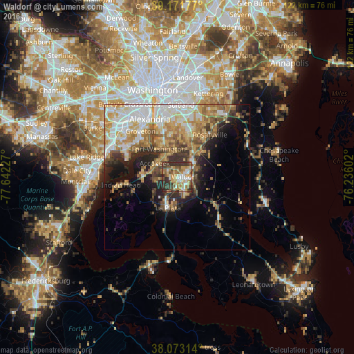

Analysis of Waldorf night lights 2016
Square area 10x10 km:
 10.88%
90-99
8.93%80-89
9.09%70-79
14.29%60-69
11.53%50-59
10.88%40-49
7.47%30-39
19.48%20-29
7.47%10-19
0%0-9
0%Square area 50x50 km:
6.41%90-99
5.74%80-89
5.28%70-79
5.33%60-69
4.81%50-59
4.45%40-49
3.52%30-39
4.6%20-29
5.43%10-19
7.99%0-9
46.43%Clear (daylight) street map image can be seen on geolist.org.
Map coordinates:
39° 10' 18.4" North, 77° 38' 32.2" West
38° 37' 28.4" North, 76° 56' 20.9" West
38° 4' 23.3" North, 76° 14' 9.7" West
Some cities around Waldorf sort by population:
• Saint Charles
2.4 km =1.5 mi,  178°
178°
• St. Charles
2.3 km =1.4 mi,  147°
147°
• Fort Washington
11.7 km =7.3 mi,  321°
321°
• Bennsville
6.6 km =4.1 mi,  255°
255°
• Accokeek
9.1 km =5.7 mi,  301°
301°
• La Plata
11 km =6.8 mi,  196°
196°
• Bryans Road
11.6 km =7.2 mi,  271°
271°
• Brandywine
11.3 km =7 mi,  44°
44°
4372599 (p: 67,752)
Sources (retrieved 2019-11-25):
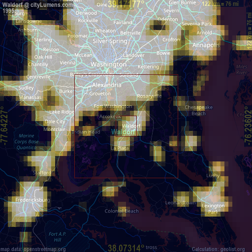
» NASA, Earths city lights 1995
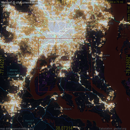
» NASA city lights 2003
» Earth at Night: Flat Maps 2012, 2016