Fort Washington night lights from space
Night Light of Fort Washington (Maryland) from space (United States) Src. Average luminocity for 10x10km area is 52.5238% and for 50x50km: 55.3036%.
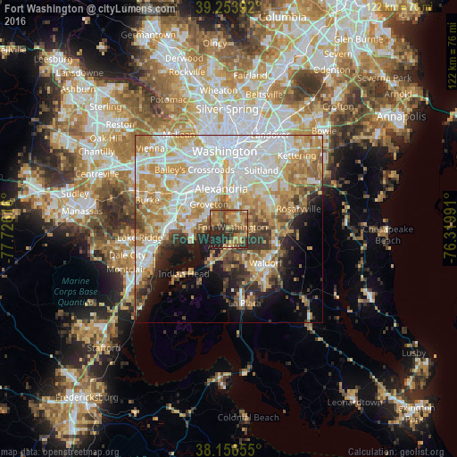
Analysis of Fort Washington night lights 2016
Square area 10x10 km:
 1.53%
1.53%90-99
1.19%80-89
11.05%70-79
13.78%60-69
16.67%50-59
13.61%40-49
8.16%30-39
9.18%20-29
21.26%10-19
3.57%0-9
0%Square area 50x50 km:
15.92%90-99
11.56%80-89
8.2%70-79
9.8%60-69
7.29%50-59
5.23%40-49
3.86%30-39
4.44%20-29
5.81%10-19
8.06%0-9
19.83%Clear (daylight) street map image can be seen on geolist.org.
Map coordinates:
39° 15' 14.1" North, 77° 43' 34.2" West
38° 42' 26.4" North, 77° 1' 22.9" West
38° 9' 23.6" North, 76° 19' 11.7" West
Some cities around Fort Washington sort by population:
• Woodlawn
9.6 km =6 mi,  276°
276°
• Hybla Valley
6.9 km =4.3 mi,  310°
310°
• Groveton
8.6 km =5.3 mi,  321°
321°
• Mount Vernon
6.8 km =4.2 mi, 276°
• Accokeek
4.4 km =2.7 mi,  185°
185°
• Friendly
6.3 km =3.9 mi,  37°
37°
• Bryans Road
9.9 km =6.2 mi,  205°
205°
• Belle Haven
9.3 km =5.8 mi,  338°
338°
4355355 (p: 23,717)
Sources (retrieved 2019-11-25):
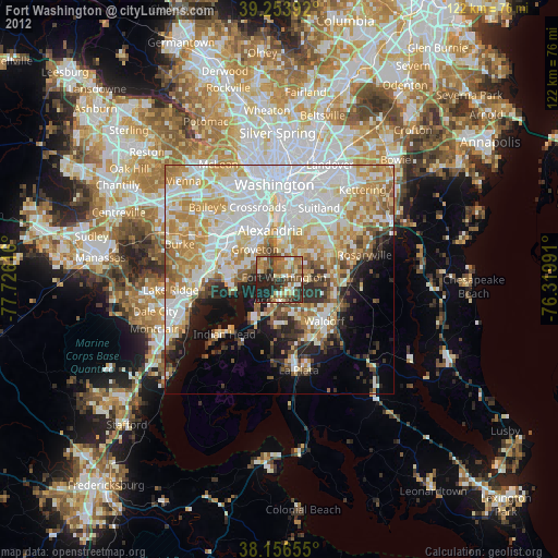
» Earth at Night: Flat Maps 2012, 2016