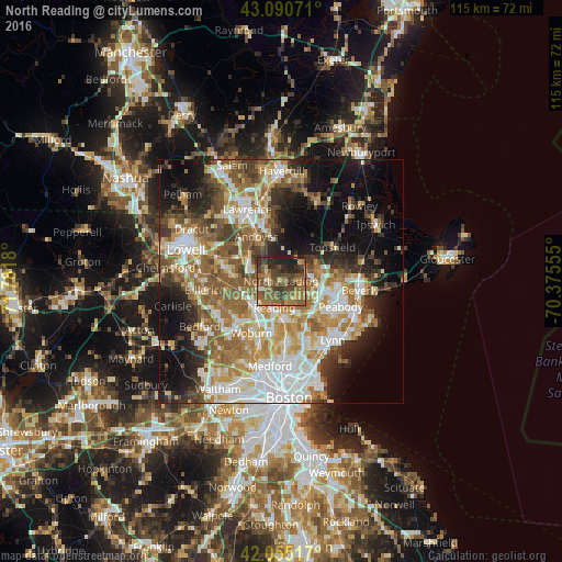
North Reading night lights from space
Night Light of North Reading (Massachusetts) from space (United States) Src. Average luminocity for 10x10km area is 50.6206% and for 50x50km: 47.5923%.
Analysis of North Reading night lights 2016
Square area 10x10 km:
 1.27%
1.27%90-99
2.06%80-89
4.6%70-79
7.46%60-69
18.25%50-59
20%40-49
16.19%30-39
13.65%20-29
13.17%10-19
3.33%0-9
0%Square area 50x50 km:
9.94%90-99
9.4%80-89
5.52%70-79
6.54%60-69
8.66%50-59
8.66%40-49
5.64%30-39
5.43%20-29
7.82%10-19
11.64%0-9
20.76%Clear (daylight) street map image can be seen on geolist.org.
Map coordinates:
43° 5' 26.6" North, 71° 46' 54.5" West
42° 34' 30.3" North, 71° 4' 43.2" West
42° 3' 18.6" North, 70° 22' 32" West
Some cities around North Reading sort by population:
• Danvers
12.2 km =7.6 mi,  90°
90°
• Wakefield
7.6 km =4.7 mi,  176°
176°
• Reading
5.7 km =3.5 mi,  193°
193°
• Wilmington
8.4 km =5.2 mi,  247°
247°
• Stoneham
10.7 km =6.6 mi, 189°
• Lynnfield
4.7 km =2.9 mi,  148°
148°
• Middleton
5.6 km =3.5 mi,  66°
66°
• Andover
10.4 km =6.5 mi,  332°
332°
4945734 (p: 14,101)
Sources (retrieved 2019-11-25):
» Earth at Night: Flat Maps 2012, 2016