Hope night lights from space
Night Light of Hope (Arkansas) from space (United States) Src. Average luminocity for 10x10km area is 42.7875% and for 50x50km: 3.4852%.
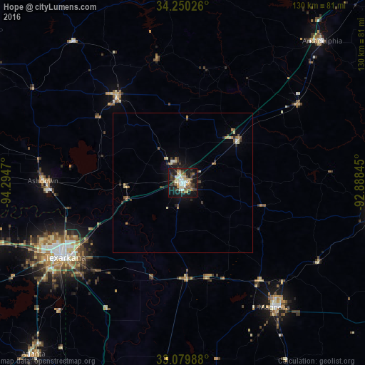
Analysis of Hope night lights 2016
Square area 10x10 km:
 5.31%
5.31%90-99
9.52%80-89
6.23%70-79
5.31%60-69
4.4%50-59
5.68%40-49
5.31%30-39
10.81%20-29
7.88%10-19
35.16%0-9
4.4%Square area 50x50 km:
0.24%90-99
0.55%80-89
0.51%70-79
0.43%60-69
0.38%50-59
0.47%40-49
0.45%30-39
0.9%20-29
0.5%10-19
2.69%0-9
92.89%Clear (daylight) street map image can be seen on geolist.org.
Map coordinates:
34° 15' 0.9" North, 94° 17' 40.9" West
33° 40' 1.4" North, 93° 35' 29.7" West
33° 4' 47.6" North, 92° 53' 18.4" West
Some cities around Hope sort by population:
• Texarkana
50.1 km =31.1 mi,  237°
237°
• Texarkana
48.3 km =30 mi, 238°
• Magnolia
55.2 km =34.3 mi,  143°
143°
• Camden
70.7 km =43.9 mi,  97°
97°
• Arkadelphia
70.8 km =44 mi,  44°
44°
• De Queen
80.6 km =50.1 mi,  300°
300°
• Wake Village
54.7 km =34 mi, 240°
• Springhill
74.4 km =46.2 mi,  171°
171°
4115181 (p: 9,891)
Sources (retrieved 2019-11-25):
» Earth at Night: Flat Maps 2012, 2016