Berkeley night lights from space
Night Light of Berkeley (Illinois) from space (United States) Src. Average luminocity for 10x10km area is 98.7111% and for 50x50km: 89.0895%.
Analysis of Berkeley night lights 2016
Square area 10x10 km:
 62.06%
90-99
34.76%80-89
3.17%70-79
0%60-69
0%50-59
0%40-49
0%30-39
0%20-29
0%10-19
0%0-9
0%Square area 50x50 km:
45%90-99
22.45%80-89
12.33%70-79
8.46%60-69
4.9%50-59
2.45%40-49
1.23%30-39
0.48%20-29
0.7%10-19
0.86%0-9
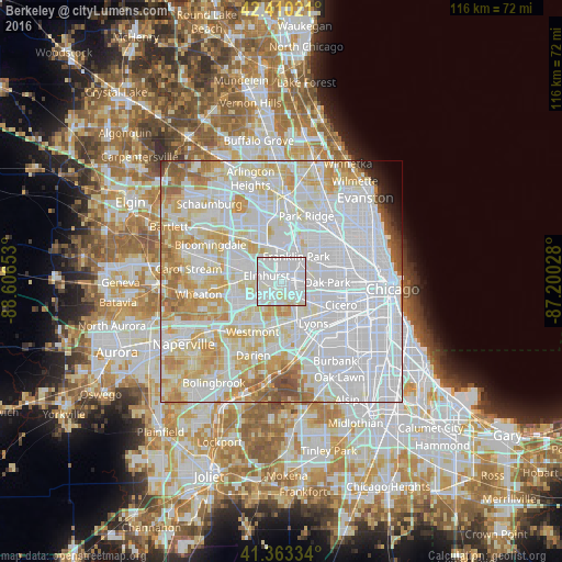
1.13%Clear (daylight) street map image can be seen on geolist.org.
Map coordinates:
42° 24' 36.8" North, 88° 36' 23.5" West
41° 53' 20.1" North, 87° 54' 12.2" West
41° 21' 48" North, 87° 12' 1" West
Some cities around Berkeley sort by population:
• Elmhurst
3.3 km =2.1 mi,  290°
290°
• Melrose Park
4.1 km =2.5 mi,  71°
71°
• Maywood
5.1 km =3.2 mi,  102°
102°
• Bellwood
1.9 km =1.2 mi,  116°
116°
• Westchester
4.6 km =2.9 mi,  157°
157°
• Northlake
3.2 km =2 mi,  11°
11°
• Hillside
1.2 km =0.7 mi,  177°
177°
• Broadview
5 km =3.1 mi, 123°
4884562 (p: 5,203)
Sources (retrieved 2019-11-25):
» Earth at Night: Flat Maps 2012, 2016