Vienna night lights from space
Night Light of Vienna (Virginia) from space (United States) Src. Average luminocity for 10x10km area is 85.0595% and for 50x50km: 73.8347%.
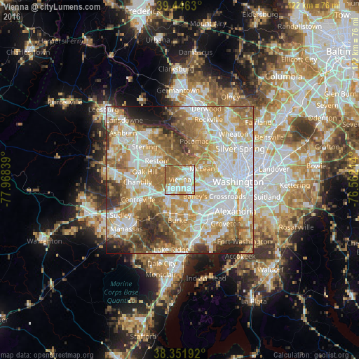
Analysis of Vienna night lights 2016
Square area 10x10 km:
 28.23%
90-99
22.96%80-89
9.18%70-79
15.14%60-69
19.05%50-59
5.44%40-49
0%30-39
0%20-29
0%10-19
0%0-9
0%Square area 50x50 km:
20.59%90-99
17.49%80-89
10.11%70-79
13.07%60-69
12.29%50-59
8.44%40-49
4.88%30-39
4.94%20-29
5.08%10-19
2.3%0-9
0.82%Clear (daylight) street map image can be seen on geolist.org.
Map coordinates:
39° 26' 46.7" North, 77° 58' 6.2" West
38° 54' 4.4" North, 77° 15' 54.9" West
38° 21' 6.9" North, 76° 33' 43.7" West
Some cities around Vienna sort by population:
• Oakton
3.8 km =2.4 mi,  233°
233°
• Tysons Corner
3.5 km =2.2 mi,  56°
56°
• Idylwood
4.7 km =2.9 mi,  98°
98°
• Wolf Trap
4.7 km =2.9 mi,  337°
337°
• Merrifield
4.5 km =2.8 mi,  132°
132°
• Dunn Loring
3.9 km =2.4 mi, 102°
• Mantua
5.3 km =3.3 mi,  174°
174°
• Pimmit Hills
5.7 km =3.5 mi,  76°
76°
4791160 (p: 16,522)
Sources (retrieved 2019-11-25):
» Earth at Night: Flat Maps 2012, 2016