Mountain Brook night lights from space
Night Light of Mountain Brook (Alabama) from space (United States) Src. Average luminocity for 10x10km area is 88.2289% and for 50x50km: 52.2592%.
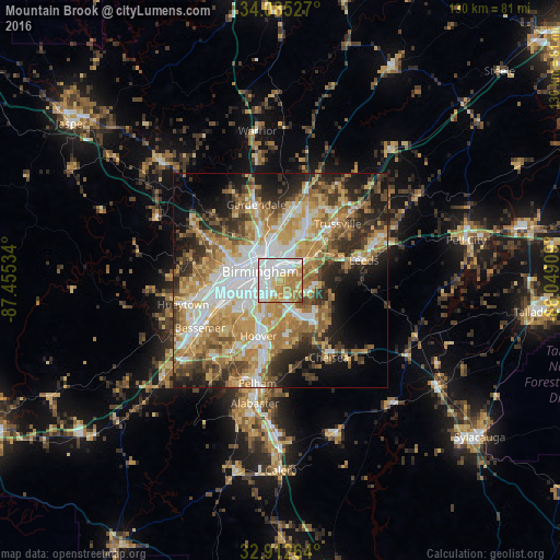
Analysis of Mountain Brook night lights 2016
Square area 10x10 km:
 33.15%
90-99
23.63%80-89
12.64%70-79
17.95%60-69
10.99%50-59
1.47%40-49
0.18%30-39
0%20-29
0%10-19
0%0-9
0%Square area 50x50 km:
10.6%90-99
8.58%80-89
8.18%70-79
10.37%60-69
10.29%50-59
5.71%40-49
5.84%30-39
6.72%20-29
8.82%10-19
9.76%0-9
15.11%Clear (daylight) street map image can be seen on geolist.org.
Map coordinates:
34° 5' 7" North, 87° 27' 19.2" West
33° 30' 3.4" North, 86° 45' 8" West
32° 54' 45.5" North, 86° 2' 56.7" West
Some cities around Mountain Brook sort by population:
• Birmingham
5.2 km =3.2 mi,  295°
295°
• Vestavia Hills
6.7 km =4.2 mi,  209°
209°
• Homewood
5.6 km =3.5 mi,  234°
234°
• Irondale
5.9 km =3.7 mi,  45°
45°
• Lake Purdy
10.3 km =6.4 mi,  139°
139°
• Brook Highland
10.3 km =6.4 mi,  134°
134°
• Tarrant
9.4 km =5.8 mi,  348°
348°
• Cahaba Heights
4.5 km =2.8 mi,  155°
155°
4078646 (p: 20,691)
Sources (retrieved 2019-11-25):
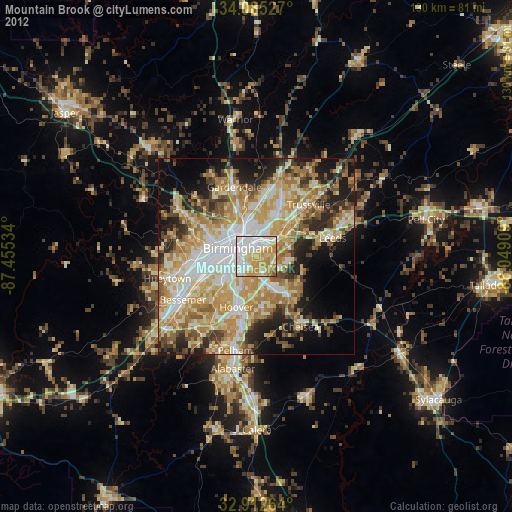
» Earth at Night: Flat Maps 2012, 2016