Valley Station night lights from space
Night Light of Valley Station (Kentucky) from space (United States) Src. Average luminocity for 10x10km area is 63.039% and for 50x50km: 35.6827%.
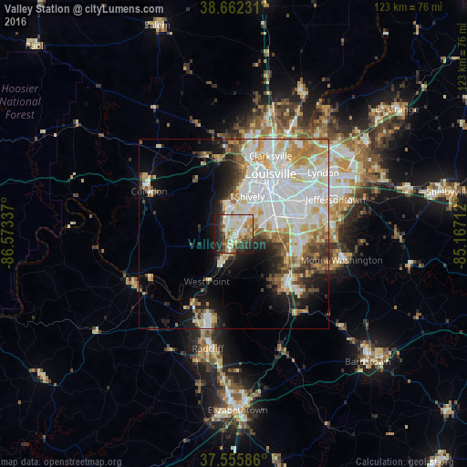
Analysis of Valley Station night lights 2016
Square area 10x10 km:
 12.5%
12.5%90-99
17.69%80-89
12.18%70-79
9.9%60-69
5.36%50-59
2.27%40-49
6.82%30-39
7.95%20-29
16.56%10-19
8.77%0-9
0%Square area 50x50 km:
10.86%90-99
8.96%80-89
4.7%70-79
3.97%60-69
3.6%50-59
2.83%40-49
2.7%30-39
3.25%20-29
4.34%10-19
7.73%0-9
47.07%Clear (daylight) street map image can be seen on geolist.org.
Map coordinates:
38° 39' 44.3" North, 86° 34' 24.1" West
38° 6' 40.2" North, 85° 52' 12.9" West
37° 33' 21.1" North, 85° 10' 1.6" West
Some cities around Valley Station sort by population:
• Louisville
18.6 km =11.6 mi,  31°
31°
• Pleasure Ridge Park
3.9 km =2.4 mi,  15°
15°
• Newburg
19.2 km =11.9 mi,  73°
73°
• Okolona
16.3 km =10.1 mi,  78°
78°
• Shively
10.7 km =6.6 mi, 22°
• Saint Dennis
8.8 km =5.5 mi,  13°
13°
• Fairdale
9.8 km =6.1 mi,  93°
93°
• Hillview
16.8 km =10.4 mi,  105°
105°
4311963 (p: 22,756)
Sources (retrieved 2019-11-25):
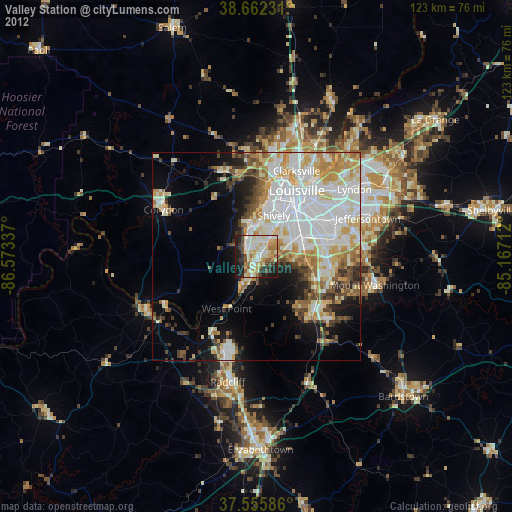
» Earth at Night: Flat Maps 2012, 2016