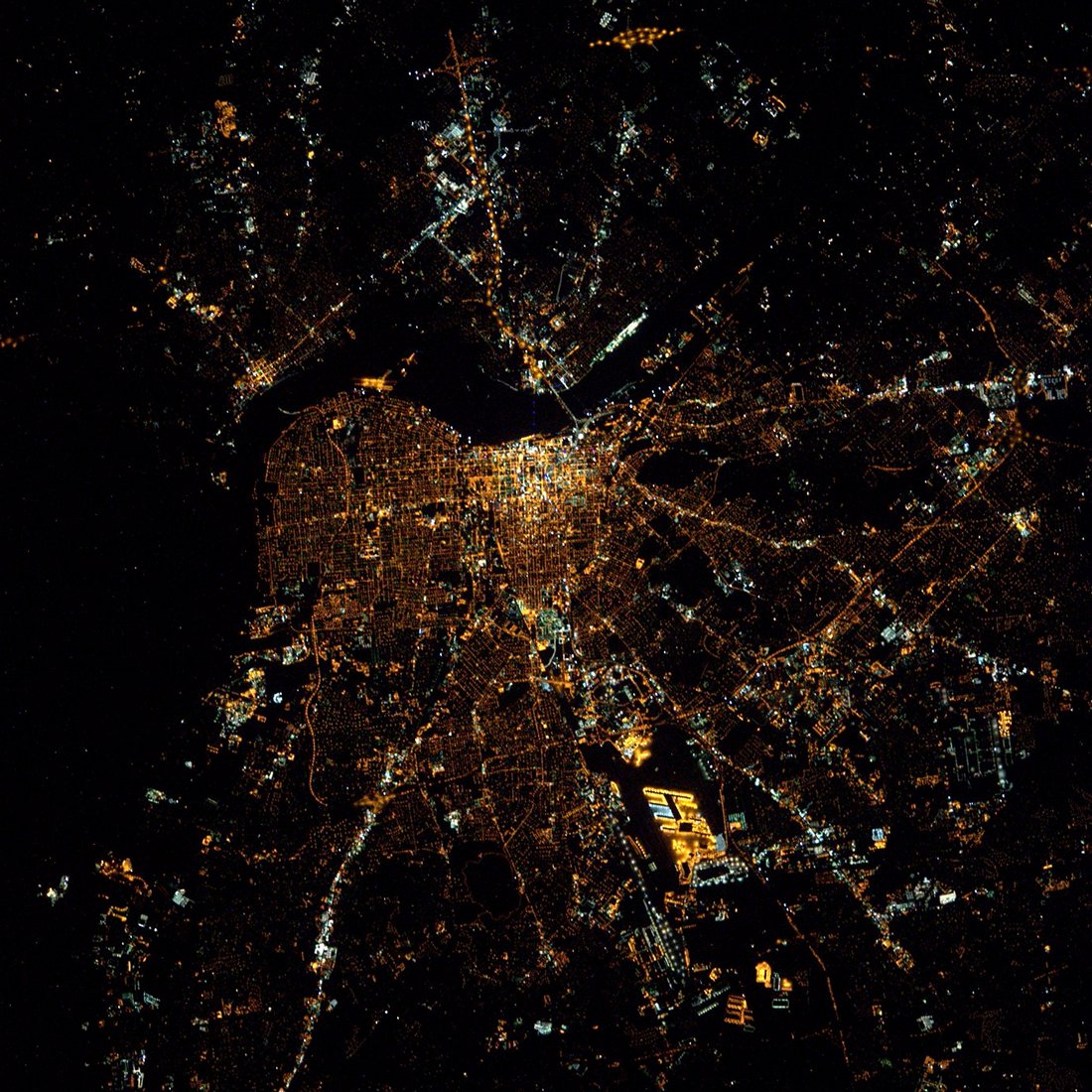
Louisville night lights from space
Night Light of Louisville (Kentucky) from space (United States) Src. Average luminocity for 10x10km area is 96.9643% and for 50x50km: 46.0099%.

Analysis of Louisville night lights 2016
Square area 10x10 km:
 58.5%
58.5%90-99
30.61%80-89
3.23%70-79
6.97%60-69
0.68%50-59
0%40-49
0%30-39
0%20-29
0%10-19
0%0-9
0%Square area 50x50 km:
12.66%90-99
10.83%80-89
6.22%70-79
5.61%60-69
5.83%50-59
4.9%40-49
4.29%30-39
4.77%20-29
6.36%10-19
9.16%0-9
29.37%Clear (daylight) street map image can be seen on geolist.org.
Map coordinates:
38° 48' 15.4" North, 86° 27' 45.1" West
38° 15' 15.3" North, 85° 45' 33.9" West
37° 42' 0" North, 85° 3' 22.6" West
Fantastic image of Louisville from space taken by astronauts [src2], but I don't have information about it's orientation, scale or angle. If necessary, it was rotated manually, so North points approximately to upper direction. Click to zoom in:
Some cities around Louisville sort by population:
• Jeffersonville
3.2 km =2 mi,  36°
36°
• New Albany
6.6 km =4.1 mi,  301°
301°
• Clarksville
4.7 km =2.9 mi,  359°
359°
• Saint Matthews
9 km =5.6 mi,  90°
90°
• Shively
8.2 km =5.1 mi,  222°
222°
• Saint Dennis
10.5 km =6.5 mi,  225°
225°
• Buechel
11.5 km =7.1 mi,  125°
125°
• Oak Park
7.9 km =4.9 mi, 43°
4299276 (p: 243,639)
Sources (retrieved 2019-11-25):
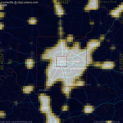
» NASA, Earths city lights 1995
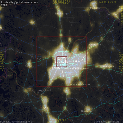
» NASA city lights 2003
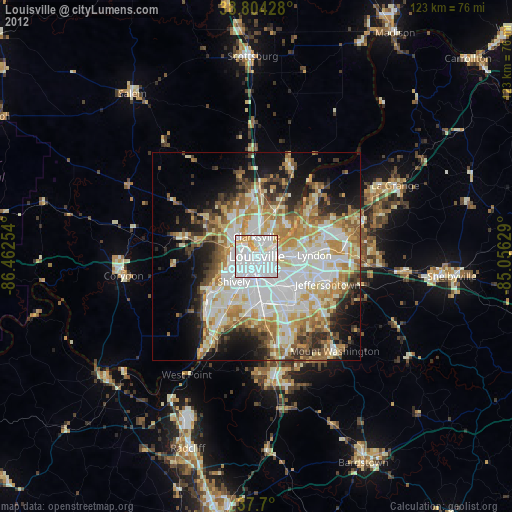
» Earth at Night: Flat Maps 2012, 2016
Src.2: Tim Kopra, Twitter/@astro_tim, 2016-05-07