Newburg night lights from space
Night Light of Newburg (Kentucky) from space (United States) Src. Average luminocity for 10x10km area is 95.4354% and for 50x50km: 48.2158%.
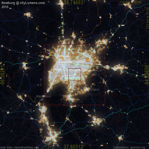
Analysis of Newburg night lights 2016
Square area 10x10 km:
 48.3%
48.3%90-99
31.29%80-89
13.27%70-79
6.12%60-69
1.02%50-59
0%40-49
0%30-39
0%20-29
0%10-19
0%0-9
0%Square area 50x50 km:
12.9%90-99
11.13%80-89
6.38%70-79
5.83%60-69
5.81%50-59
5.21%40-49
5.41%30-39
5.78%20-29
7.17%10-19
10.37%0-9
24.01%Clear (daylight) street map image can be seen on geolist.org.
Map coordinates:
38° 42' 39" North, 86° 21' 46.1" West
38° 9' 36.3" North, 85° 39' 34.8" West
37° 36' 18.4" North, 84° 57' 23.6" West
Some cities around Newburg sort by population:
• Jeffersontown
9.2 km =5.7 mi,  65°
65°
• Fern Creek
6.3 km =3.9 mi,  90°
90°
• Saint Matthews
10.3 km =6.4 mi,  1°
1°
• Okolona
3.2 km =2 mi,  229°
229°
• Highview
3.7 km =2.3 mi,  121°
121°
• Fairdale
10.6 km =6.6 mi, 234°
• Hillview
10.3 km =6.4 mi,  192°
192°
• Buechel
4 km =2.5 mi,  9°
9°
4302504 (p: 19,967)
Sources (retrieved 2019-11-25):
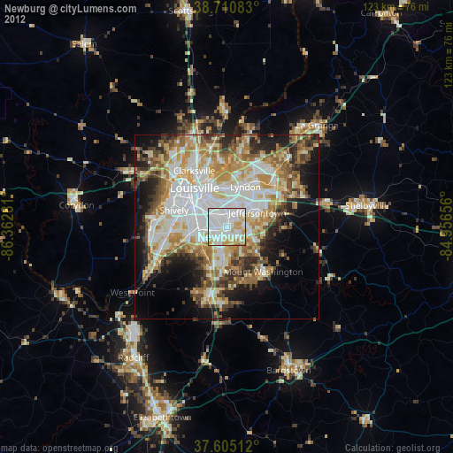
» Earth at Night: Flat Maps 2012, 2016