University Place night lights from space
Night Light of University Place (Washington) from space (United States) Src. Average luminocity for 10x10km area is 59.6696% and for 50x50km: 34.2756%.
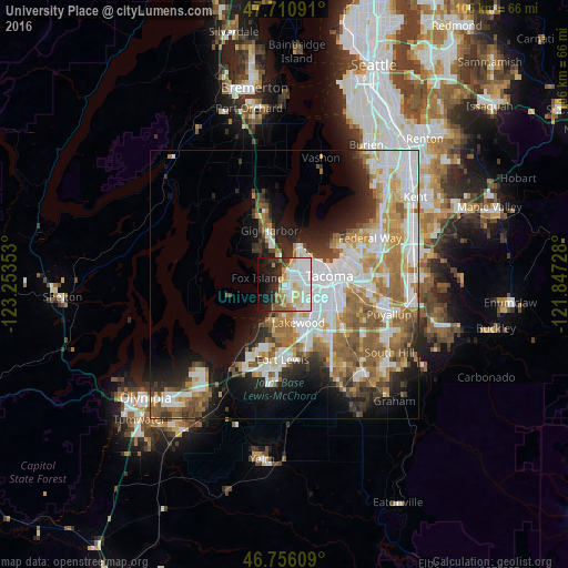
Analysis of University Place night lights 2016
Square area 10x10 km:
 20.39%
90-99
14.88%80-89
8.04%70-79
7.29%60-69
3.13%50-59
4.46%40-49
1.93%30-39
5.65%20-29
10.27%10-19
15.63%0-9
8.33%Square area 50x50 km:
8.8%90-99
7.51%80-89
2.97%70-79
4.45%60-69
5.61%50-59
5.53%40-49
3.27%30-39
3.05%20-29
5.51%10-19
9.03%0-9
44.28%Clear (daylight) street map image can be seen on geolist.org.
Map coordinates:
47° 42' 39.3" North, 123° 15' 12.7" West
47° 14' 8.3" North, 122° 33' 1.4" West
46° 45' 21.9" North, 121° 50' 50.2" West
Some cities around University Place sort by population:
• Tacoma
8.2 km =5.1 mi,  76°
76°
• Lakewood
7.5 km =4.7 mi,  161°
161°
• Parkland
12.5 km =7.8 mi,  135°
135°
• Artondale
8.9 km =5.5 mi,  323°
323°
• Gig Harbor
10.6 km =6.6 mi,  347°
347°
• Fircrest
2.6 km =1.6 mi, 80°
• Wollochet
4.5 km =2.8 mi,  325°
325°
• Steilacoom
8.3 km =5.2 mi,  208°
208°
5814450 (p: 32,842)
Sources (retrieved 2019-11-25):
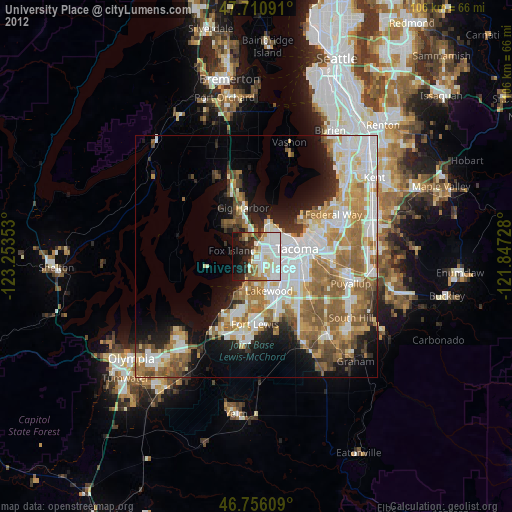
» Earth at Night: Flat Maps 2012, 2016