Kings Bridge night lights from space
Night Light of Kings Bridge (New York) from space (United States) Src. Average luminocity for 10x10km area is 93.352% and for 50x50km: 82.6298%.
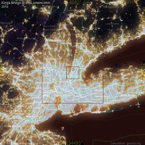
Analysis of Kings Bridge night lights 2016
Square area 10x10 km:
 58.67%
90-99
18.71%80-89
4.76%70-79
11.05%60-69
6.63%50-59
0.17%40-49
0%30-39
0%20-29
0%10-19
0%0-9
0%Square area 50x50 km:
40.68%90-99
17.72%80-89
6.52%70-79
8.5%60-69
11.2%50-59
4.67%40-49
2.54%30-39
2.88%20-29
2.54%10-19
2.39%0-9
0.36%Clear (daylight) street map image can be seen on geolist.org.
Map coordinates:
41° 24' 29.5" North, 74° 36' 29.8" West
40° 52' 43.4" North, 73° 54' 18.5" West
40° 20' 41.8" North, 73° 12' 7.3" West
Some cities around Kings Bridge sort by population:
• Fordham
2.2 km =1.4 mi,  165°
165°
• Morris Heights
3.4 km =2.1 mi,  201°
201°
• University Heights
2.1 km =1.3 mi,  189°
189°
• Tremont
3.2 km =2 mi,  180°
180°
• Spuyten Duyvil
1.1 km =0.7 mi,  285°
285°
• Inwood
2.3 km =1.4 mi,  231°
231°
• Riverdale
2.4 km =1.5 mi,  357°
357°
• Woodlawn
3.8 km =2.4 mi,  55°
55°
5123443 (p: 75,132)
Sources (retrieved 2019-11-25):
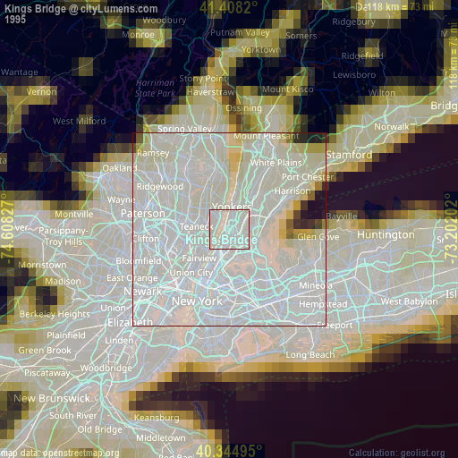
» NASA, Earths city lights 1995
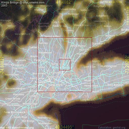
» NASA city lights 2003
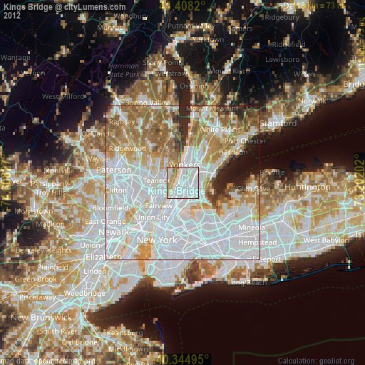
» Earth at Night: Flat Maps 2012, 2016