Tyler night lights from space
Night Light of Tyler (Texas) from space (United States) Src. Average luminocity for 10x10km area is 83.1099% and for 50x50km: 16.86%.
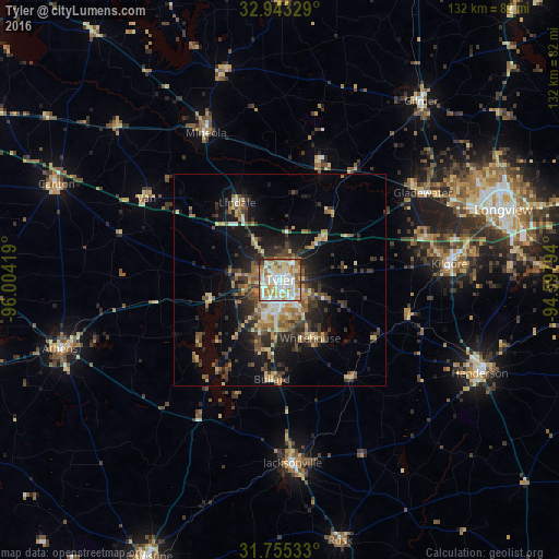
Analysis of Tyler night lights 2016
Square area 10x10 km:
 19.96%
90-99
24.91%80-89
16.12%70-79
17.03%60-69
9.89%50-59
8.61%40-49
2.01%30-39
0.55%20-29
0.92%10-19
0%0-9
0%Square area 50x50 km:
1.44%90-99
1.91%80-89
2.61%70-79
2.4%60-69
2.44%50-59
2.91%40-49
2.4%30-39
3.95%20-29
4.69%10-19
9.89%0-9
65.34%Clear (daylight) street map image can be seen on geolist.org.
Map coordinates:
32° 56' 35.8" North, 96° 0' 15.1" West
32° 21' 4.5" North, 95° 18' 3.8" West
31° 45' 19.2" North, 94° 35' 52.6" West
Some cities around Tyler sort by population:
• Kilgore
40.1 km =24.9 mi,  84°
84°
• Jacksonville
43.2 km =26.8 mi,  176°
176°
• Henderson
52.1 km =32.4 mi,  115°
115°
• Whitehouse
15.6 km =9.7 mi,  152°
152°
• Gladewater
39.4 km =24.5 mi,  58°
58°
• White Oak
45.7 km =28.4 mi, 64°
• Lindale
20.9 km =13 mi,  330°
330°
• Gilmer
53.8 km =33.4 mi,  38°
38°
4738214 (p: 103,700)
Sources (retrieved 2019-11-25):
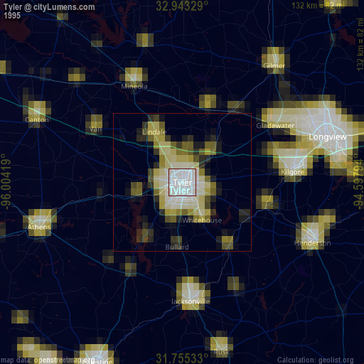
» NASA, Earths city lights 1995
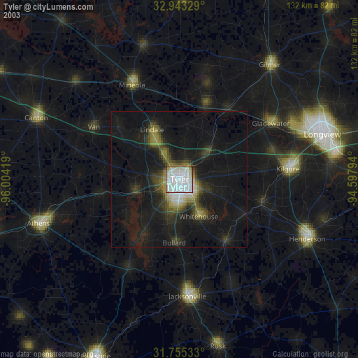
» NASA city lights 2003
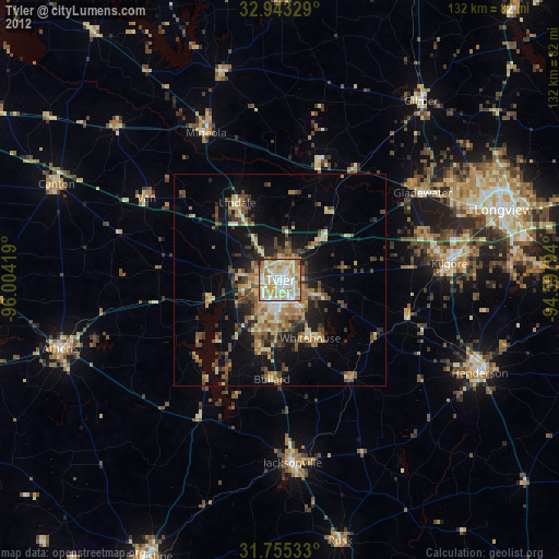
» Earth at Night: Flat Maps 2012, 2016