Tullahoma night lights from space
Night Light of Tullahoma (Tennessee) from space (United States) Src. Average luminocity for 10x10km area is 50.2289% and for 50x50km: 10.0773%.
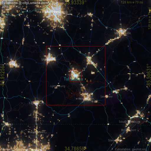
Analysis of Tullahoma night lights 2016
Square area 10x10 km:
 6.59%
6.59%90-99
8.79%80-89
9.52%70-79
9.52%60-69
8.24%50-59
6.78%40-49
4.76%30-39
6.59%20-29
10.62%10-19
27.11%0-9
1.47%Square area 50x50 km:
0.84%90-99
1.09%80-89
2.04%70-79
1.15%60-69
1.27%50-59
1.44%40-49
1.07%30-39
1.7%20-29
1.97%10-19
9.91%0-9
77.52%Clear (daylight) street map image can be seen on geolist.org.
Map coordinates:
35° 56' 0.2" North, 86° 54' 45.2" West
35° 21' 43.3" North, 86° 12' 33.9" West
34° 47' 11.7" North, 85° 30' 22.7" West
Some cities around Tullahoma sort by population:
• Shelbyville
26.4 km =16.4 mi,  300°
300°
• McMinnville
53.5 km =33.2 mi,  48°
48°
• Lewisburg
53.4 km =33.2 mi,  280°
280°
• Manchester
17.2 km =10.7 mi,  39°
39°
• Christiana
42.3 km =26.3 mi,  336°
336°
• Winchester
21.5 km =13.4 mi,  155°
155°
• Fayetteville
40.3 km =25 mi,  234°
234°
• Lynchburg
17.3 km =10.7 mi,  239°
239°
4663494 (p: 19,128)
Sources (retrieved 2019-11-25):
» Earth at Night: Flat Maps 2012, 2016