Shelbyville night lights from space
Night Light of Shelbyville (Tennessee) from space (United States) Src. Average luminocity for 10x10km area is 45.5861% and for 50x50km: 5.4475%.
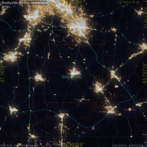
Analysis of Shelbyville night lights 2016
Square area 10x10 km:
 8.42%
8.42%90-99
9.71%80-89
10.81%70-79
3.48%60-69
3.66%50-59
4.21%40-49
2.75%30-39
8.42%20-29
9.52%10-19
32.42%0-9
6.59%Square area 50x50 km:
0.59%90-99
0.74%80-89
1.2%70-79
0.6%60-69
0.58%50-59
0.63%40-49
0.36%30-39
0.86%20-29
1.1%10-19
4.35%0-9
88.98%Clear (daylight) street map image can be seen on geolist.org.
Map coordinates:
36° 3' 14.1" North, 87° 9' 48.2" West
35° 29' 0.3" North, 86° 27' 37" West
34° 54' 31.8" North, 85° 45' 25.7" West
Some cities around Shelbyville sort by population:
• Murfreesboro
40.8 km =25.4 mi,  8°
8°
• Tullahoma
26.4 km =16.4 mi,  120°
120°
• Lewisburg
30 km =18.6 mi,  262°
262°
• Manchester
33.7 km =20.9 mi,  90°
90°
• Christiana
25.8 km =16 mi, 12°
• Winchester
45.7 km =28.4 mi,  136°
136°
• Fayetteville
38.2 km =23.7 mi,  195°
195°
• Lynchburg
23.6 km =14.7 mi,  160°
160°
4657077 (p: 21,317)
Sources (retrieved 2019-11-25):
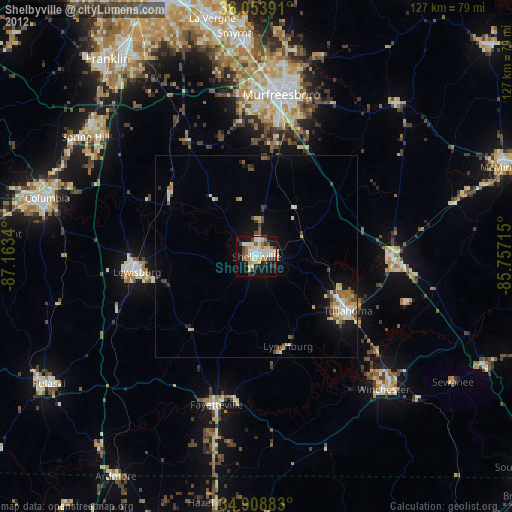
» Earth at Night: Flat Maps 2012, 2016