Christiana night lights from space
Night Light of Christiana (Tennessee) from space (United States) Src. Average luminocity for 10x10km area is 17.4563% and for 50x50km: 16.2606%.
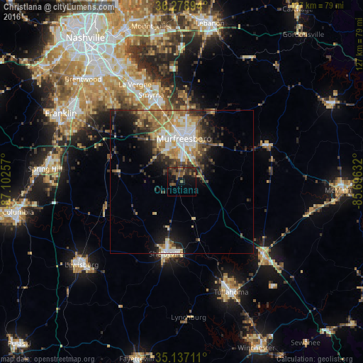
Analysis of Christiana night lights 2016
Square area 10x10 km:
 0%
0%90-99
0%80-89
0%70-79
2.1%60-69
2.27%50-59
6.29%40-49
6.64%30-39
4.55%20-29
11.01%10-19
16.78%0-9
50.35%Square area 50x50 km:
2.54%90-99
2.28%80-89
2.81%70-79
2%60-69
2.41%50-59
2.38%40-49
2.45%30-39
3.37%20-29
3.87%10-19
6.42%0-9
69.49%Clear (daylight) street map image can be seen on geolist.org.
Map coordinates:
36° 16' 44.2" North, 87° 6' 9.3" West
35° 42' 36.3" North, 86° 23' 58" West
35° 8' 13.6" North, 85° 41' 46.8" West
Some cities around Christiana sort by population:
• Murfreesboro
15.1 km =9.4 mi,  3°
3°
• Smyrna
32.2 km =20 mi,  340°
340°
• La Vergne
37.7 km =23.4 mi,  334°
334°
• Shelbyville
25.8 km =16 mi,  192°
192°
• Tullahoma
42.3 km =26.3 mi,  156°
156°
• Lewisburg
45.6 km =28.3 mi,  230°
230°
• Manchester
37.9 km =23.5 mi,  132°
132°
• Nolensville
36.3 km =22.6 mi,  317°
317°
4613501 (p: 9,830)
Sources (retrieved 2019-11-25):
» Earth at Night: Flat Maps 2012, 2016