Tulare night lights from space
Night Light of Tulare (California) from space (United States) Src. Average luminocity for 10x10km area is 47.4668% and for 50x50km: 12.7995%.
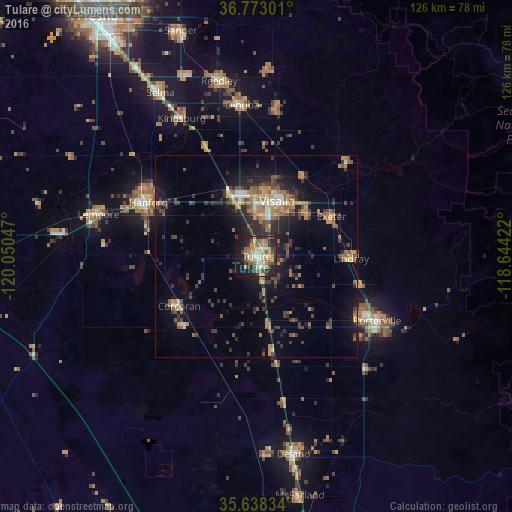
Analysis of Tulare night lights 2016
Square area 10x10 km:
 4.9%
4.9%90-99
5.94%80-89
8.04%70-79
10.66%60-69
9.09%50-59
6.82%40-49
6.99%30-39
6.64%20-29
15.73%10-19
20.98%0-9
4.2%Square area 50x50 km:
0.74%90-99
1.08%80-89
0.88%70-79
1.75%60-69
2.45%50-59
2.63%40-49
2.54%30-39
3.02%20-29
4%10-19
8.58%0-9
72.35%Clear (daylight) street map image can be seen on geolist.org.
Map coordinates:
36° 46' 22.8" North, 120° 3' 1.7" West
36° 12' 27.8" North, 119° 20' 50.4" West
35° 38' 18" North, 118° 38' 39.2" West
Some cities around Tulare sort by population:
• Visalia
14.5 km =9 mi,  19°
19°
• Porterville
33.6 km =20.9 mi,  118°
118°
• Hanford
29.9 km =18.6 mi,  296°
296°
• Corcoran
22.7 km =14.1 mi,  237°
237°
• Lindsay
23.3 km =14.5 mi,  91°
91°
• Farmersville
16.1 km =10 mi,  51°
51°
• Exeter
20.9 km =13 mi,  61°
61°
• Woodlake
31.9 km =19.8 mi,  44°
44°
5403783 (p: 62,315)
Sources (retrieved 2019-11-25):
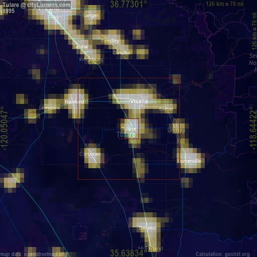
» NASA, Earths city lights 1995
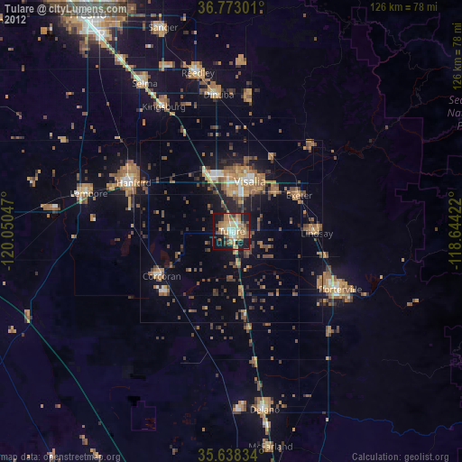
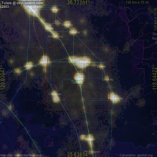
» NASA city lights 2003
» Earth at Night: Flat Maps 2012, 2016