Corcoran night lights from space
Night Light of Corcoran (California) from space (United States) Src. Average luminocity for 10x10km area is 17.7051% and for 50x50km: 7.864%.
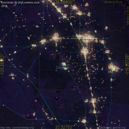
Analysis of Corcoran night lights 2016
Square area 10x10 km:
 1.1%
1.1%90-99
2.56%80-89
2.01%70-79
2.75%60-69
1.83%50-59
3.85%40-49
3.85%30-39
2.01%20-29
1.65%10-19
7.14%0-9
71.25%Square area 50x50 km:
0.36%90-99
0.64%80-89
0.73%70-79
1.26%60-69
1.49%50-59
1.44%40-49
1.72%30-39
1.88%20-29
2.54%10-19
4.87%0-9
83.08%Clear (daylight) street map image can be seen on geolist.org.
Map coordinates:
36° 39' 50.7" North, 120° 15' 48.7" West
36° 5' 52.8" North, 119° 33' 37.4" West
35° 31' 40.2" North, 118° 51' 26.2" West
Some cities around Corcoran sort by population:
• Visalia
35.3 km =21.9 mi,  42°
42°
• Tulare
22.7 km =14.1 mi,  57°
57°
• Hanford
26.6 km =16.5 mi,  343°
343°
• Lemoore
30.1 km =18.7 mi,  318°
318°
• Farmersville
38.7 km =24 mi, 55°
• Exeter
43.5 km =27 mi, 59°
• Earlimart
35.2 km =21.9 mi,  132°
132°
• Lemoore Station
36 km =22.4 mi,  300°
300°
5339539 (p: 22,477)
Sources (retrieved 2019-11-25):
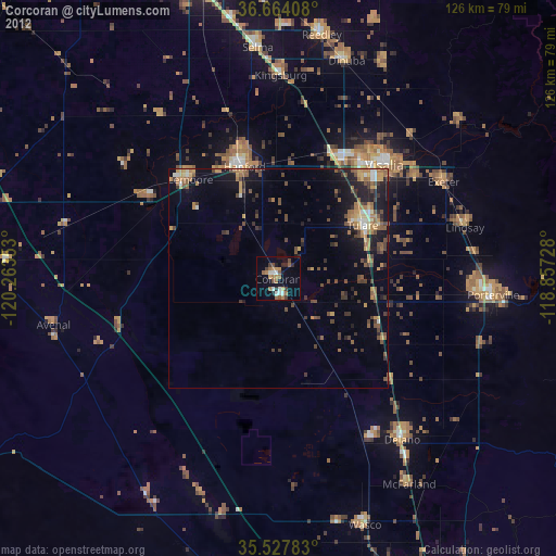
» Earth at Night: Flat Maps 2012, 2016