Porterville night lights from space
Night Light of Porterville (California) from space (United States) Src. Average luminocity for 10x10km area is 45.2033% and for 50x50km: 5.4054%.
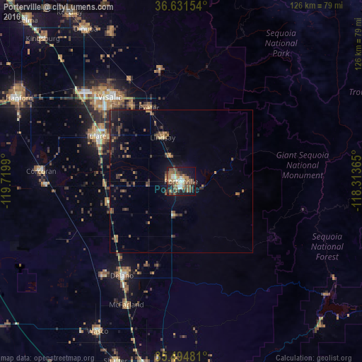
Analysis of Porterville night lights 2016
Square area 10x10 km:
 5.31%
5.31%90-99
5.31%80-89
3.48%70-79
6.23%60-69
9.34%50-59
12.45%40-49
14.29%30-39
5.86%20-29
7.69%10-19
23.81%0-9
6.23%Square area 50x50 km:
0.22%90-99
0.22%80-89
0.24%70-79
0.73%60-69
0.84%50-59
1.28%40-49
1.46%30-39
1.25%20-29
1.39%10-19
4.3%0-9
88.09%Clear (daylight) street map image can be seen on geolist.org.
Map coordinates:
36° 37' 53.5" North, 119° 43' 11.6" West
36° 3' 54.8" North, 119° 1' 0.4" West
35° 29' 41.3" North, 118° 18' 49.1" West
Some cities around Porterville sort by population:
• Visalia
38.4 km =23.9 mi,  320°
320°
• Tulare
33.6 km =20.9 mi,  298°
298°
• Delano
38.9 km =24.2 mi,  212°
212°
• Lindsay
16.6 km =10.3 mi,  337°
337°
• Farmersville
31 km =19.3 mi,  326°
326°
• Exeter
28 km =17.4 mi, 336°
• Earlimart
30.6 km =19 mi,  228°
228°
• East Porterville
3.8 km =2.4 mi,  103°
103°
5384471 (p: 56,058)
Sources (retrieved 2019-11-25):
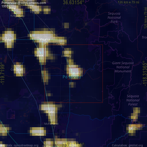
» NASA, Earths city lights 1995
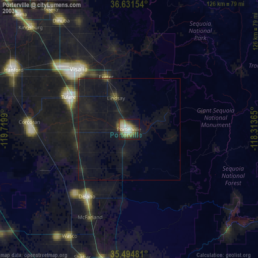
» NASA city lights 2003
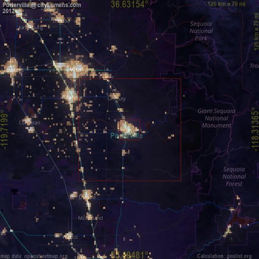
» Earth at Night: Flat Maps 2012, 2016