Tujunga night lights from space
Night Light of Tujunga (California) from space (United States) Src. Average luminocity for 10x10km area is 52.315% and for 50x50km: 53.337%.
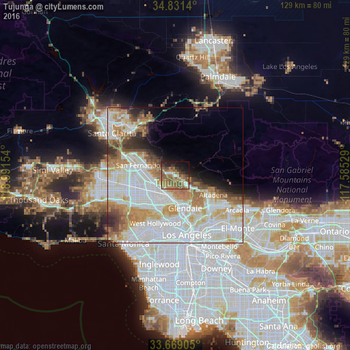
Analysis of Tujunga night lights 2016
Square area 10x10 km:
 4.03%
4.03%90-99
4.21%80-89
3.11%70-79
6.23%60-69
26.74%50-59
20.88%40-49
4.03%30-39
6.59%20-29
8.42%10-19
13%0-9
2.75%Square area 50x50 km:
19.99%90-99
13.31%80-89
5.72%70-79
6.13%60-69
7.38%50-59
4.19%40-49
3.06%30-39
2.79%20-29
2.84%10-19
4.18%0-9
30.42%Clear (daylight) street map image can be seen on geolist.org.
Map coordinates:
34° 49' 53" North, 118° 59' 29.5" West
34° 15' 8" North, 118° 17' 18.3" West
33° 40' 8.6" North, 117° 35' 7" West
Some cities around Tujunga sort by population:
• Glendale
12.6 km =7.8 mi,  165°
165°
• Burbank
8.2 km =5.1 mi,  193°
193°
• Universal City
13.9 km =8.6 mi,  205°
205°
• North Hollywood
12.2 km =7.6 mi,  223°
223°
• La Cañada Flintridge
11 km =6.8 mi,  122°
122°
• La Crescenta-Montrose
5.4 km =3.4 mi,  114°
114°
• Sunland
2.1 km =1.3 mi,  322°
322°
• Shadow Hills
5.9 km =3.7 mi,  280°
280°
5403767 (p: 26,527)
Sources (retrieved 2019-11-25):
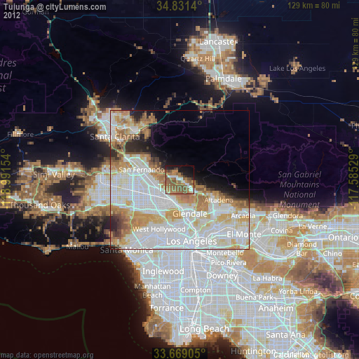
» Earth at Night: Flat Maps 2012, 2016