Bayonne night lights from space
Night Light of Bayonne (New Jersey) from space (United States) Src. Average luminocity for 10x10km area is 95.263% and for 50x50km: 77.7345%.
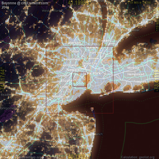
Analysis of Bayonne night lights 2016
Square area 10x10 km:
 60.88%
90-99
21.1%80-89
6.82%70-79
7.79%60-69
3.41%50-59
0%40-49
0%30-39
0%20-29
0%10-19
0%0-9
0%Square area 50x50 km:
41.31%90-99
18.43%80-89
7.1%70-79
7.33%60-69
5.01%50-59
1.6%40-49
1.68%30-39
2.1%20-29
2.92%10-19
3.44%0-9
9.09%Clear (daylight) street map image can be seen on geolist.org.
Map coordinates:
41° 11' 59.6" North, 74° 49' 2.8" West
40° 40' 7.4" North, 74° 6' 51.5" West
40° 7' 59.8" North, 73° 24' 40.3" West
Some cities around Bayonne sort by population:
• Mariners Harbor
5.2 km =3.2 mi,  226°
226°
• Port Richmond
4.4 km =2.7 mi,  205°
205°
• Emerson Hill
6.8 km =4.2 mi,  166°
166°
• Graniteville
5.7 km =3.5 mi, 210°
• Clifton
6.3 km =3.9 mi,  149°
149°
• Westerleigh
5.5 km =3.4 mi,  195°
195°
• Tompkinsville
4.6 km =2.9 mi,  137°
137°
• Stapleton
5.6 km =3.5 mi, 146°
5095445 (p: 66,311)
Sources (retrieved 2019-11-25):
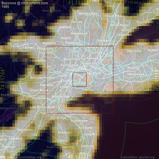
» NASA, Earths city lights 1995
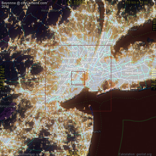
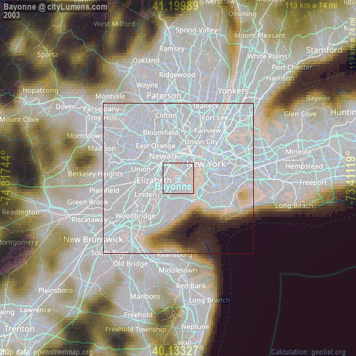
» NASA city lights 2003
» Earth at Night: Flat Maps 2012, 2016