The Crossings night lights from space
Night Light of The Crossings (Florida) from space (United States) Src. Average luminocity for 10x10km area is 98.5398% and for 50x50km: 47.737%.
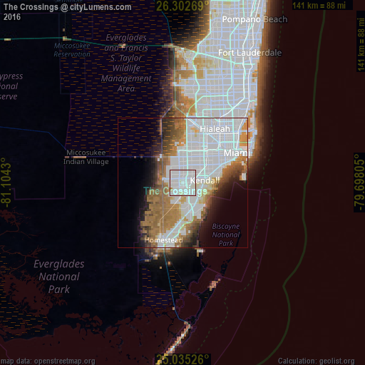
Analysis of The Crossings night lights 2016
Square area 10x10 km:
 61.36%
90-99
34.85%80-89
2.46%70-79
1.33%60-69
0%50-59
0%40-49
0%30-39
0%20-29
0%10-19
0%0-9
0%Square area 50x50 km:
22.33%90-99
8.71%80-89
2.4%70-79
2.62%60-69
8.7%50-59
4.75%40-49
3.59%30-39
3.19%20-29
3.56%10-19
5.58%0-9
34.57%Clear (daylight) street map image can be seen on geolist.org.
Map coordinates:
26° 18' 9.7" North, 81° 6' 15.5" West
25° 40' 14.4" North, 80° 24' 4.2" West
25° 2' 6.9" North, 79° 41' 53" West
Some cities around The Crossings sort by population:
• Kendale Lakes
4.2 km =2.6 mi,  352°
352°
• The Hammocks
4.3 km =2.7 mi,  271°
271°
• Kendall West
5.5 km =3.4 mi,  316°
316°
• Sunset
6.3 km =3.9 mi,  51°
51°
• Country Walk
5.1 km =3.2 mi,  217°
217°
• Three Lakes
3.2 km =2 mi,  174°
174°
• Palmetto Estates
6.7 km =4.2 mi,  144°
144°
• Richmond Heights
5.4 km =3.4 mi, 143°
4175091 (p: 22,758)
Sources (retrieved 2019-11-25):
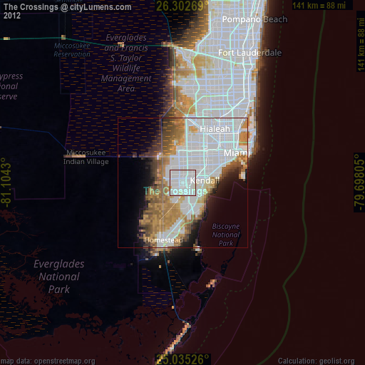
» Earth at Night: Flat Maps 2012, 2016