Richmond Heights night lights from space
Night Light of Richmond Heights (Florida) from space (United States) Src. Average luminocity for 10x10km area is 95.6875% and for 50x50km: 45.4051%.
Analysis of Richmond Heights night lights 2016
Square area 10x10 km:
 39.77%
90-99
42.8%80-89
13.45%70-79
3.79%60-69
0.19%50-59
0%40-49
0%30-39
0%20-29
0%10-19
0%0-9
0%Square area 50x50 km:
19.41%90-99
8.65%80-89
2.37%70-79
2.45%60-69
8.87%50-59
4.96%40-49
3.9%30-39
3.35%20-29
3.98%10-19
7.04%0-9
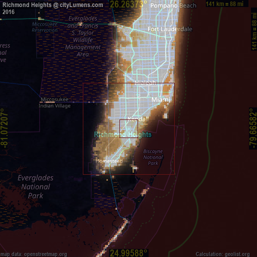
35.02%Clear (daylight) street map image can be seen on geolist.org.
Map coordinates:
26° 15' 49.4" North, 81° 4' 19.5" West
25° 37' 53.4" North, 80° 22' 8.2" West
24° 59' 45.2" North, 79° 39' 57" West
Some cities around Richmond Heights sort by population:
• South Miami Heights
3.9 km =2.4 mi,  197°
197°
• Palmetto Bay
4.6 km =2.9 mi,  103°
103°
• The Crossings
5.4 km =3.4 mi,  323°
323°
• Cutler
6.1 km =3.8 mi,  107°
107°
• Three Lakes
3.2 km =2 mi,  291°
291°
• Palmetto Estates
1.3 km =0.8 mi,  147°
147°
• West Perrine
2.9 km =1.8 mi,  167°
167°
• East Perrine
3.9 km =2.4 mi,  130°
130°
4170000 (p: 8,541)
Sources (retrieved 2019-11-25):
» Earth at Night: Flat Maps 2012, 2016