Tequesta night lights from space
Night Light of Tequesta (Florida) from space (United States) Src. Average luminocity for 10x10km area is 54.1726% and for 50x50km: 23.9219%.
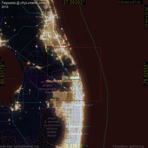
Analysis of Tequesta night lights 2016
Square area 10x10 km:
 7.14%
7.14%90-99
15.28%80-89
3.17%70-79
4.96%60-69
14.48%50-59
14.48%40-49
5.16%30-39
3.77%20-29
8.53%10-19
21.03%0-9
1.98%Square area 50x50 km:
3.22%90-99
3.61%80-89
2.07%70-79
2.04%60-69
6.04%50-59
7.22%40-49
3.62%30-39
2.83%20-29
5.32%10-19
11.46%0-9
52.6%Clear (daylight) street map image can be seen on geolist.org.
Map coordinates:
27° 35' 34.9" North, 80° 49' 54.4" West
26° 58' 5.2" North, 80° 7' 43.1" West
26° 20' 23" North, 79° 25' 31.9" West
Some cities around Tequesta sort by population:
• Jupiter
5.1 km =3.2 mi,  137°
137°
• Palm Beach Gardens
16.1 km =10 mi,  183°
183°
• The Acreage
23.8 km =14.8 mi,  215°
215°
• Riviera Beach
22.5 km =14 mi,  161°
161°
• North Palm Beach
17.4 km =10.8 mi, 164°
• Hobe Sound
10.2 km =6.3 mi,  355°
355°
• Port Salerno
20.8 km =12.9 mi,  340°
340°
• Lake Park
19.6 km =12.2 mi, 161°
4175011 (p: 5,629)
Sources (retrieved 2019-11-25):
» Earth at Night: Flat Maps 2012, 2016