Port Salerno night lights from space
Night Light of Port Salerno (Florida) from space (United States) Src. Average luminocity for 10x10km area is 60.1307% and for 50x50km: 21.6296%.
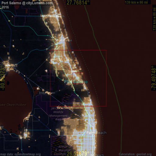
Analysis of Port Salerno night lights 2016
Square area 10x10 km:
 6.44%
6.44%90-99
10.42%80-89
6.63%70-79
5.49%60-69
20.64%50-59
20.64%40-49
7.2%30-39
9.66%20-29
9.28%10-19
3.6%0-9
0%Square area 50x50 km:
1.81%90-99
2.78%80-89
1.8%70-79
2.53%60-69
8.58%50-59
5.45%40-49
2.84%30-39
2.48%20-29
4.86%10-19
9.12%0-9
57.75%Clear (daylight) street map image can be seen on geolist.org.
Map coordinates:
27° 46' 5.3" North, 80° 54' 13.4" West
27° 8' 39.2" North, 80° 12' 2.2" West
26° 31' 0.4" North, 79° 29' 50.9" West
Some cities around Port Salerno sort by population:
• Jupiter
25.6 km =15.9 mi,  155°
155°
• Palm City
7 km =4.3 mi,  292°
292°
• Stuart
7.9 km =4.9 mi,  318°
318°
• Jensen Beach
12.6 km =7.8 mi,  346°
346°
• Hobe Sound
11.4 km =7.1 mi,  146°
146°
• Tequesta
20.8 km =12.9 mi, 160°
• River Park
23.8 km =14.8 mi, 322°
• Hutchinson Island South
17.4 km =10.8 mi, 353°
4169176 (p: 10,091)
Sources (retrieved 2019-11-25):
» Earth at Night: Flat Maps 2012, 2016