North Palm Beach night lights from space
Night Light of North Palm Beach (Florida) from space (United States) Src. Average luminocity for 10x10km area is 87.2956% and for 50x50km: 33.6284%.
Analysis of North Palm Beach night lights 2016
Square area 10x10 km:
 38.29%
90-99
26.39%80-89
11.51%70-79
6.35%60-69
8.33%50-59
1.39%40-49
2.98%30-39
2.18%20-29
2.58%10-19
0%0-9
0%Square area 50x50 km:
7.76%90-99
7.99%80-89
3.16%70-79
2.99%60-69
6.96%50-59
6.62%40-49
3.41%30-39
2.2%20-29
4.7%10-19
9.24%0-9
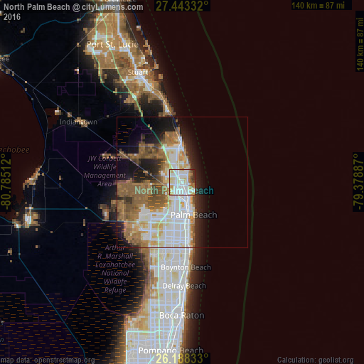
44.97%Clear (daylight) street map image can be seen on geolist.org.
Map coordinates:
27° 26' 36" North, 80° 47' 6.4" West
26° 49' 3.2" North, 80° 4' 55.2" West
26° 11' 18" North, 79° 22' 43.9" West
Some cities around North Palm Beach sort by population:
• West Palm Beach
11.7 km =7.3 mi,  165°
165°
• Jupiter
13 km =8.1 mi,  354°
354°
• Palm Beach Gardens
5.7 km =3.5 mi,  276°
276°
• Riviera Beach
5.3 km =3.3 mi,  153°
153°
• Palm Beach
13.2 km =8.2 mi,  160°
160°
• Lake Park
2.5 km =1.6 mi,  141°
141°
• West Gate
12.9 km =8 mi,  187°
187°
• Tequesta
17.4 km =10.8 mi,  344°
344°
4166253 (p: 12,015)
Sources (retrieved 2019-11-25):
» Earth at Night: Flat Maps 2012, 2016