Palm Beach Gardens night lights from space
Night Light of Palm Beach Gardens (Florida) from space (United States) Src. Average luminocity for 10x10km area is 73.9008% and for 50x50km: 34.1063%.
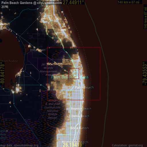
Analysis of Palm Beach Gardens night lights 2016
Square area 10x10 km:
 19.64%
90-99
18.45%80-89
9.52%70-79
11.31%60-69
12.5%50-59
6.55%40-49
13.49%30-39
2.98%20-29
5.56%10-19
0%0-9
0%Square area 50x50 km:
7.68%90-99
7.69%80-89
3.03%70-79
2.96%60-69
7.07%50-59
7%40-49
3.65%30-39
2.65%20-29
5.02%10-19
10.46%0-9
42.78%Clear (daylight) street map image can be seen on geolist.org.
Map coordinates:
27° 26' 56.8" North, 80° 50' 30.4" West
26° 49' 24.2" North, 80° 8' 19.1" West
26° 11' 39.1" North, 79° 26' 7.9" West
Some cities around Palm Beach Gardens sort by population:
• West Palm Beach
14.7 km =9.1 mi,  144°
144°
• Jupiter
13.1 km =8.1 mi,  19°
19°
• The Acreage
13.2 km =8.2 mi,  255°
255°
• Royal Palm Beach
15.7 km =9.8 mi,  215°
215°
• Riviera Beach
9.6 km =6 mi,  123°
123°
• North Palm Beach
5.7 km =3.5 mi,  96°
96°
• Lake Park
7.6 km =4.7 mi,  109°
109°
• West Gate
14 km =8.7 mi,  163°
163°
4167519 (p: 52,923)
Sources (retrieved 2019-11-25):
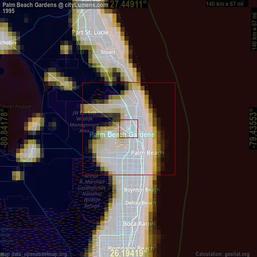
» NASA, Earths city lights 1995
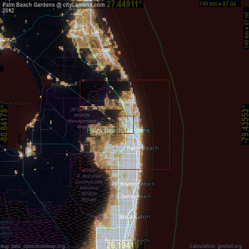
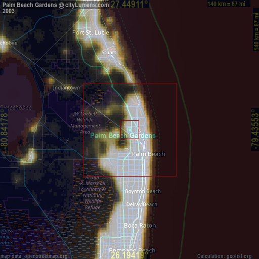
» NASA city lights 2003
» Earth at Night: Flat Maps 2012, 2016