Teaneck night lights from space
Night Light of Teaneck (New Jersey) from space (United States) Src. Average luminocity for 10x10km area is 96.4932% and for 50x50km: 83.1571%.
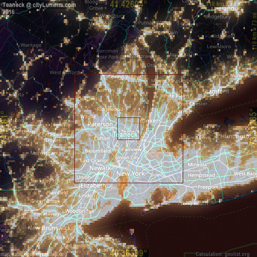
Analysis of Teaneck night lights 2016
Square area 10x10 km:
 46.77%
90-99
39.29%80-89
11.22%70-79
2.72%60-69
0%50-59
0%40-49
0%30-39
0%20-29
0%10-19
0%0-9
0%Square area 50x50 km:
38.39%90-99
18.59%80-89
7.53%70-79
10.08%60-69
11.39%50-59
5.07%40-49
2.3%30-39
2.74%20-29
2.26%10-19
1.07%0-9
0.59%Clear (daylight) street map image can be seen on geolist.org.
Map coordinates:
41° 25' 37" North, 74° 43' 8.8" West
40° 53' 51.4" North, 74° 0' 57.5" West
40° 21' 50.4" North, 73° 18' 46.3" West
Some cities around Teaneck sort by population:
• Hackensack
2.7 km =1.7 mi,  240°
240°
• Englewood
3.7 km =2.3 mi,  98°
98°
• Bergenfield
3.7 km =2.3 mi,  25°
25°
• New Milford
4.2 km =2.6 mi,  356°
356°
• Ridgefield Park
4.5 km =2.8 mi,  185°
185°
• River Edge
4 km =2.5 mi,  329°
329°
• Maywood
3.9 km =2.4 mi,  278°
278°
• Bogota
2.6 km =1.6 mi,  206°
206°
5105262 (p: 40,078)
Sources (retrieved 2019-11-25):
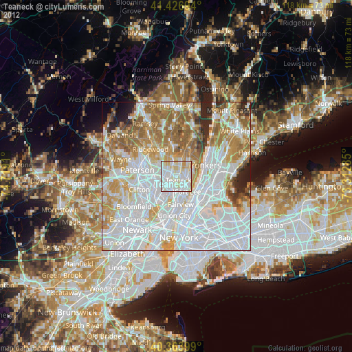
» Earth at Night: Flat Maps 2012, 2016