Hackensack night lights from space
Night Light of Hackensack (New Jersey) from space (United States) Src. Average luminocity for 10x10km area is 98.0221% and for 50x50km: 83.4743%.
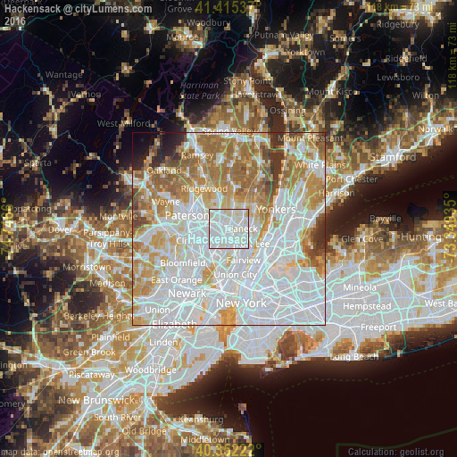
Analysis of Hackensack night lights 2016
Square area 10x10 km:
 55.95%
90-99
38.61%80-89
4.76%70-79
0.68%60-69
0%50-59
0%40-49
0%30-39
0%20-29
0%10-19
0%0-9
0%Square area 50x50 km:
38.75%90-99
18.41%80-89
7.57%70-79
10.64%60-69
11.14%50-59
5.11%40-49
2.49%30-39
2.28%20-29
1.72%10-19
1.14%0-9
0.76%Clear (daylight) street map image can be seen on geolist.org.
Map coordinates:
41° 24' 55.3" North, 74° 44' 47.8" West
40° 53' 9.3" North, 74° 2' 36.5" West
40° 21' 8" North, 73° 20' 25.3" West
Some cities around Hackensack sort by population:
• Teaneck
2.7 km =1.7 mi,  60°
60°
• Lodi
3.4 km =2.1 mi,  263°
263°
• Ridgefield Park
3.7 km =2.3 mi,  150°
150°
• Hasbrouck Heights
4.4 km =2.7 mi,  225°
225°
• Little Ferry
3.7 km =2.3 mi,  178°
178°
• Maywood
2.4 km =1.5 mi,  320°
320°
• Bogota
1.6 km =1 mi,  133°
133°
• Rochelle Park
3.6 km =2.2 mi,  311°
311°
5098706 (p: 44,834)
Sources (retrieved 2019-11-25):
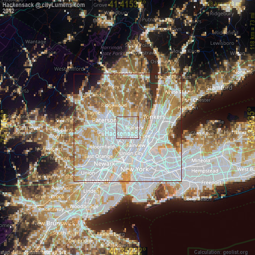
» Earth at Night: Flat Maps 2012, 2016