Bergenfield night lights from space
Night Light of Bergenfield (New Jersey) from space (United States) Src. Average luminocity for 10x10km area is 87.0629% and for 50x50km: 79.4352%.
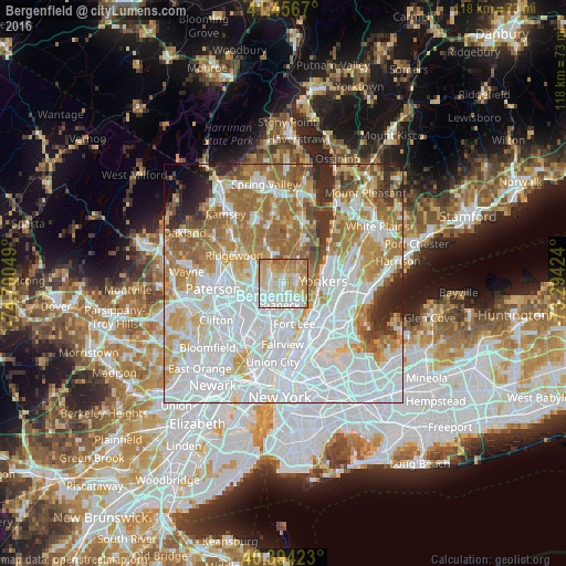
Analysis of Bergenfield night lights 2016
Square area 10x10 km:
 22.96%
90-99
27.55%80-89
17.18%70-79
22.62%60-69
8.33%50-59
1.36%40-49
0%30-39
0%20-29
0%10-19
0%0-9
0%Square area 50x50 km:
32.93%90-99
17.97%80-89
7.75%70-79
10.03%60-69
12.58%50-59
5.89%40-49
2.97%30-39
3.36%20-29
3.68%10-19
1.63%0-9
1.21%Clear (daylight) street map image can be seen on geolist.org.
Map coordinates:
41° 27' 24.1" North, 74° 42' 1.8" West
40° 55' 39.4" North, 73° 59' 50.5" West
40° 23' 39.2" North, 73° 17' 39.3" West
Some cities around Bergenfield sort by population:
• Teaneck
3.7 km =2.3 mi,  205°
205°
• Englewood
4.4 km =2.7 mi,  151°
151°
• Dumont
1.5 km =0.9 mi,  1°
1°
• New Milford
2 km =1.2 mi,  294°
294°
• Tenafly
2.9 km =1.8 mi,  94°
94°
• River Edge
3.6 km =2.2 mi,  271°
271°
• Cresskill
3.6 km =2.2 mi,  64°
64°
• Demarest
4.4 km =2.7 mi,  40°
40°
5095611 (p: 27,621)
Sources (retrieved 2019-11-25):
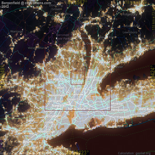
» Earth at Night: Flat Maps 2012, 2016