Englewood night lights from space
Night Light of Englewood (New Jersey) from space (United States) Src. Average luminocity for 10x10km area is 91.1922% and for 50x50km: 83.3428%.
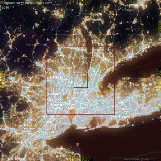
Analysis of Englewood night lights 2016
Square area 10x10 km:
 32.82%
90-99
36.9%80-89
10.37%70-79
10.88%60-69
8.33%50-59
0.68%40-49
0%30-39
0%20-29
0%10-19
0%0-9
0%Square area 50x50 km:
39.91%90-99
18.35%80-89
7.09%70-79
8.95%60-69
11.35%50-59
4.97%40-49
2.28%30-39
2.89%20-29
2.71%10-19
1.43%0-9
0.07%Clear (daylight) street map image can be seen on geolist.org.
Map coordinates:
41° 25' 20.1" North, 74° 40' 32.8" West
40° 53' 34.4" North, 73° 58' 21.5" West
40° 21' 33.2" North, 73° 16' 10.3" West
Some cities around Englewood sort by population:
• Teaneck
3.7 km =2.3 mi,  278°
278°
• Fort Lee
4.7 km =2.9 mi,  177°
177°
• Bergenfield
4.4 km =2.7 mi,  331°
331°
• Tenafly
3.7 km =2.3 mi,  12°
12°
• Spuyten Duyvil
4.8 km =3 mi,  105°
105°
• Inwood
4.9 km =3 mi,  128°
128°
• Leonia
3.7 km =2.3 mi,  200°
200°
• Bogota
5.2 km =3.2 mi,  248°
248°
5097672 (p: 28,539)
Sources (retrieved 2019-11-25):
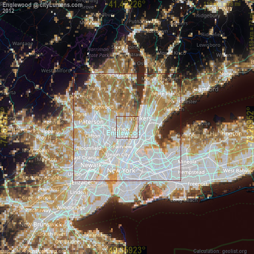
» Earth at Night: Flat Maps 2012, 2016