Sumter night lights from space
Night Light of Sumter (South Carolina) from space (United States) Src. Average luminocity for 10x10km area is 73.4685% and for 50x50km: 14.1452%.
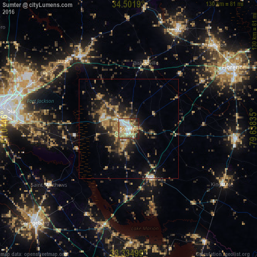
Analysis of Sumter night lights 2016
Square area 10x10 km:
 15.38%
90-99
15.56%80-89
14.16%70-79
12.94%60-69
16.08%50-59
10.84%40-49
4.9%30-39
4.02%20-29
5.07%10-19
1.05%0-9
0%Square area 50x50 km:
1.03%90-99
1.01%80-89
2.4%70-79
2.58%60-69
2.83%50-59
1.66%40-49
2.44%30-39
3.92%20-29
3.74%10-19
7.95%0-9
70.45%Clear (daylight) street map image can be seen on geolist.org.
Map coordinates:
34° 30' 6.8" North, 81° 2' 40.6" West
33° 55' 13.6" North, 80° 20' 29.3" West
33° 20' 6" North, 79° 38' 18.1" West
Some cities around Sumter sort by population:
• Dentsville
59.1 km =36.7 mi,  285°
285°
• Woodfield
56.5 km =35.1 mi, 285°
• Oak Grove
59.9 km =37.2 mi,  254°
254°
• Hartsville
56.1 km =34.9 mi,  26°
26°
• Lugoff
46.8 km =29.1 mi,  316°
316°
• Camden
43.7 km =27.2 mi,  326°
326°
• Lake City
54.4 km =33.8 mi,  95°
95°
• Darlington
60.1 km =37.3 mi,  45°
45°
4597948 (p: 40,816)
Sources (retrieved 2019-11-25):
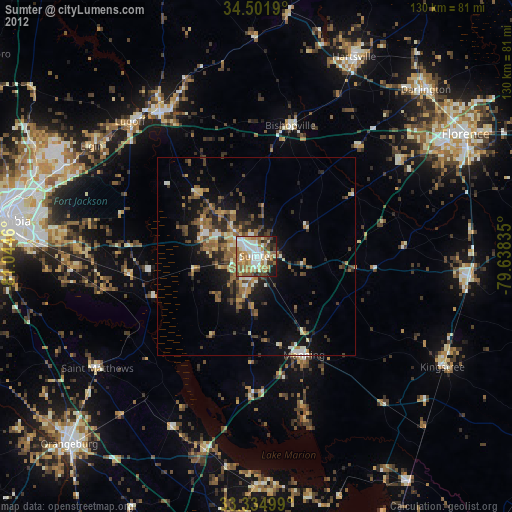
» Earth at Night: Flat Maps 2012, 2016