East Millcreek night lights from space
Night Light of East Millcreek (Utah) from space (United States) Src. Average luminocity for 10x10km area is 58.7873% and for 50x50km: 34.1907%.
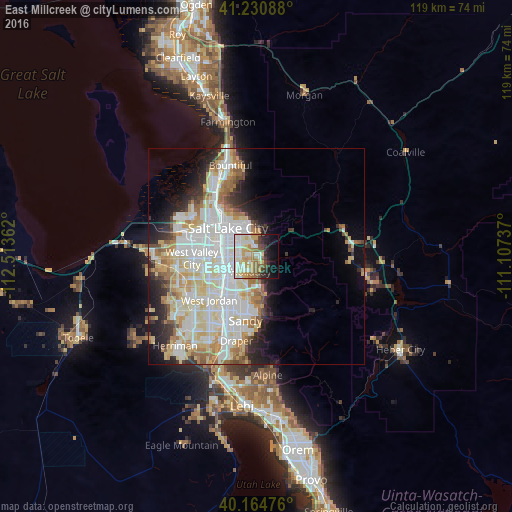
Analysis of East Millcreek night lights 2016
Square area 10x10 km:
 11.69%
90-99
15.91%80-89
9.58%70-79
11.53%60-69
5.52%50-59
6.49%40-49
4.87%30-39
4.22%20-29
7.63%10-19
14.45%0-9
8.12%Square area 50x50 km:
9.6%90-99
9.44%80-89
5.41%70-79
3.78%60-69
3.76%50-59
2.64%40-49
1.75%30-39
2.21%20-29
4.79%10-19
6.85%0-9
49.76%Clear (daylight) street map image can be seen on geolist.org.
Map coordinates:
41° 13' 51.2" North, 112° 30' 49" West
40° 41' 59.8" North, 111° 48' 37.8" West
40° 9' 53.1" North, 111° 6' 26.5" West
Some cities around East Millcreek sort by population:
• Salt Lake City
9.6 km =6 mi,  314°
314°
• Millcreek
5.7 km =3.5 mi,  255°
255°
• Murray
7.5 km =4.7 mi,  240°
240°
• Cottonwood Heights
8.9 km =5.5 mi,  179°
179°
• Holladay
3.7 km =2.3 mi,  199°
199°
• South Salt Lake
6.9 km =4.3 mi,  287°
287°
• Canyon Rim
1.2 km =0.7 mi, 307°
• Mount Olympus
2.5 km =1.6 mi,  130°
130°
5774301 (p: 20,816)
Sources (retrieved 2019-11-25):
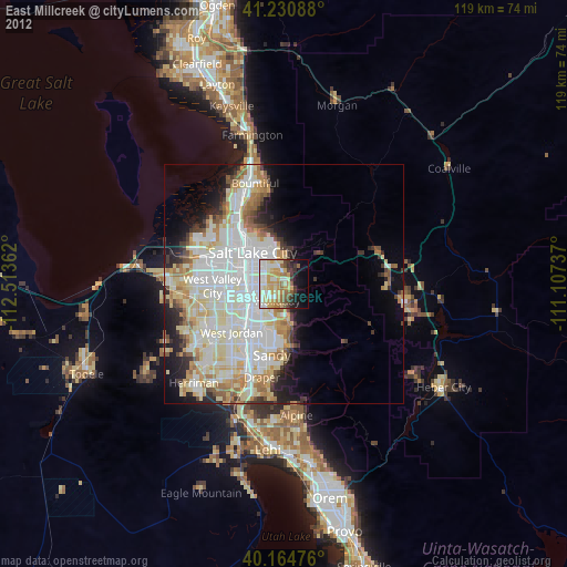
» Earth at Night: Flat Maps 2012, 2016