Cottonwood Heights night lights from space
Night Light of Cottonwood Heights (Utah) from space (United States) Src. Average luminocity for 10x10km area is 60.5682% and for 50x50km: 35.9517%.
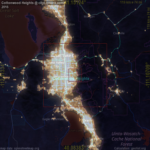
Analysis of Cottonwood Heights night lights 2016
Square area 10x10 km:
 15.91%
90-99
14.45%80-89
8.77%70-79
6.98%60-69
11.04%50-59
6.49%40-49
2.92%30-39
4.22%20-29
8.77%10-19
13.15%0-9
7.31%Square area 50x50 km:
9.59%90-99
9.33%80-89
5.56%70-79
4.02%60-69
4.04%50-59
3.7%40-49
2.46%30-39
2.83%20-29
5.38%10-19
7.54%0-9
45.54%Clear (daylight) street map image can be seen on geolist.org.
Map coordinates:
41° 9' 4.5" North, 112° 30' 48" West
40° 37' 10.8" North, 111° 48' 36.8" West
40° 5' 1.8" North, 111° 6' 25.5" West
Some cities around Cottonwood Heights sort by population:
• Sandy Hills
5.5 km =3.4 mi,  218°
218°
• Sandy
7 km =4.3 mi,  243°
243°
• Murray
8.4 km =5.2 mi,  308°
308°
• Midvale
7.6 km =4.7 mi,  262°
262°
• Holladay
5.6 km =3.5 mi,  347°
347°
• Little Cottonwood Creek Valley
2.3 km =1.4 mi, 223°
• Mount Olympus
7.5 km =4.7 mi,  14°
14°
• White City
7.5 km =4.7 mi, 217°
5773304 (p: 34,343)
Sources (retrieved 2019-11-25):
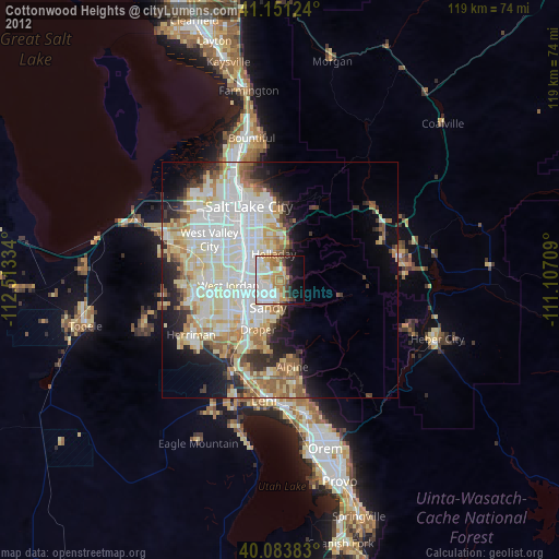
» Earth at Night: Flat Maps 2012, 2016