Inwood night lights from space
Night Light of Inwood (New York) from space (United States) Src. Average luminocity for 10x10km area is 84.2744% and for 50x50km: 54.7559%.
Analysis of Inwood night lights 2016
Square area 10x10 km:
 38.47%
90-99
21.92%80-89
7.63%70-79
8.93%60-69
7.31%50-59
7.31%40-49
1.14%30-39
2.76%20-29
4.55%10-19
0%0-9
0%Square area 50x50 km:
31.96%90-99
11.54%80-89
3.1%70-79
2.89%60-69
3.29%50-59
2.61%40-49
2.02%30-39
1.92%20-29
2.8%10-19
4.58%0-9
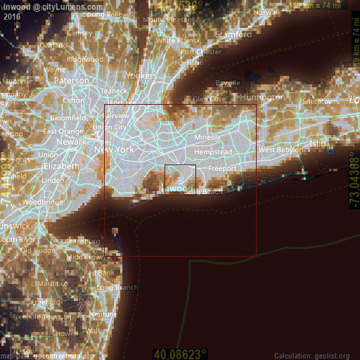
33.29%Clear (daylight) street map image can be seen on geolist.org.
Map coordinates:
41° 9' 13" North, 74° 26' 59.7" West
40° 37' 19.4" North, 73° 44' 48.5" West
40° 5' 10.4" North, 73° 2' 37.2" West
Some cities around Inwood sort by population:
• Far Rockaway
2 km =1.2 mi,  200°
200°
• Springfield Gardens
4.7 km =2.9 mi,  344°
344°
• Rosedale
4.6 km =2.9 mi,  12°
12°
• Woodmere
3.1 km =1.9 mi,  68°
68°
• Edgemere
3.4 km =2.1 mi,  211°
211°
• Cedarhurst
1.9 km =1.2 mi,  87°
87°
• Lawrence
1.6 km =1 mi,  116°
116°
• South Valley Stream
4.5 km =2.8 mi,  33°
33°
5122279 (p: 9,792)
Sources (retrieved 2019-11-25):
» Earth at Night: Flat Maps 2012, 2016