Solon night lights from space
Night Light of Solon (Ohio) from space (United States) Src. Average luminocity for 10x10km area is 70.0051% and for 50x50km: 45.3579%.
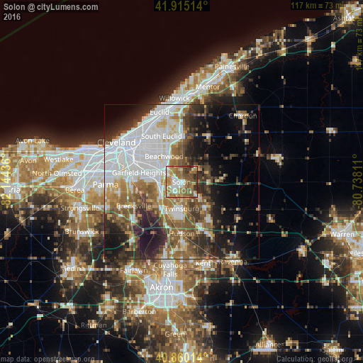
Analysis of Solon night lights 2016
Square area 10x10 km:
 12.76%
90-99
12.76%80-89
7.31%70-79
13.27%60-69
20.92%50-59
15.82%40-49
9.18%30-39
6.63%20-29
1.36%10-19
0%0-9
0%Square area 50x50 km:
13.06%90-99
9%80-89
3.6%70-79
3.9%60-69
6.77%50-59
6.87%40-49
6.57%30-39
5.93%20-29
8.91%10-19
11.49%0-9
23.91%Clear (daylight) street map image can be seen on geolist.org.
Map coordinates:
41° 54' 54.5" North, 82° 8' 39.7" West
41° 23' 23.2" North, 81° 26' 28.4" West
40° 51' 36.5" North, 80° 44' 17.2" West
Some cities around Solon sort by population:
• Maple Heights
10.8 km =6.7 mi,  285°
285°
• Twinsburg
8.6 km =5.3 mi,  179°
179°
• Warrensville Heights
9.4 km =5.8 mi,  302°
302°
• Bedford
8 km =5 mi,  272°
272°
• Beachwood
10 km =6.2 mi,  325°
325°
• Macedonia
10.2 km =6.3 mi,  213°
213°
• Bedford Heights
7.8 km =4.8 mi, 292°
• Pepper Pike
10 km =6.2 mi,  349°
349°
5172387 (p: 23,043)
Sources (retrieved 2019-11-25):
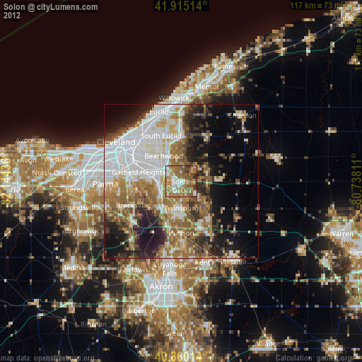
» Earth at Night: Flat Maps 2012, 2016