Maple Heights night lights from space
Night Light of Maple Heights (Ohio) from space (United States) Src. Average luminocity for 10x10km area is 92.432% and for 50x50km: 54.4302%.
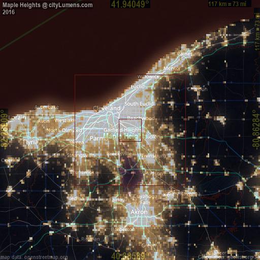
Analysis of Maple Heights night lights 2016
Square area 10x10 km:
 51.7%
51.7%90-99
26.36%80-89
4.25%70-79
3.4%60-69
10.37%50-59
3.57%40-49
0.34%30-39
0%20-29
0%10-19
0%0-9
0%Square area 50x50 km:
17.71%90-99
11.66%80-89
4.28%70-79
4.98%60-69
7.57%50-59
7.39%40-49
6.68%30-39
6.41%20-29
8.61%10-19
10.73%0-9
13.99%Clear (daylight) street map image can be seen on geolist.org.
Map coordinates:
41° 56' 25.8" North, 82° 16' 8.7" West
41° 24' 55.2" North, 81° 33' 57.5" West
40° 53' 9.2" North, 80° 51' 46.2" West
Some cities around Maple Heights sort by population:
• Garfield Heights
3.3 km =2.1 mi,  273°
273°
• Shaker Heights
6.9 km =4.3 mi,  20°
20°
• Warrensville Heights
3.3 km =2.1 mi,  48°
48°
• University Heights
9.5 km =5.9 mi,  14°
14°
• Bedford
3.5 km =2.2 mi,  135°
135°
• Beachwood
7.3 km =4.5 mi,  41°
41°
• Bedford Heights
3.2 km =2 mi,  86°
86°
• Independence
7.9 km =4.9 mi,  229°
229°
5161803 (p: 22,631)
Sources (retrieved 2019-11-25):
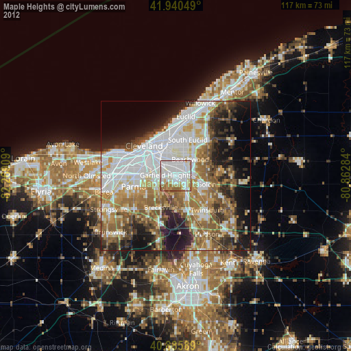
» Earth at Night: Flat Maps 2012, 2016