Socorro night lights from space
Night Light of Socorro (Texas) from space (United States) Src. Average luminocity for 10x10km area is 86.6337% and for 50x50km: 42.449%.
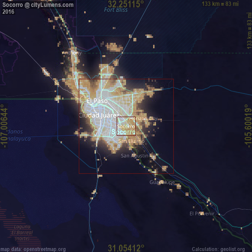
Analysis of Socorro night lights 2016
Square area 10x10 km:
 24.54%
90-99
16.85%80-89
23.44%70-79
31.5%60-69
3.66%50-59
0%40-49
0%30-39
0%20-29
0%10-19
0%0-9
0%Square area 50x50 km:
13.29%90-99
7.75%80-89
5.76%70-79
9.55%60-69
4.12%50-59
2.81%40-49
3.05%30-39
2.8%20-29
4.96%10-19
7.85%0-9
38.06%Clear (daylight) street map image can be seen on geolist.org.
Map coordinates:
32° 15' 4.1" North, 107° 0' 23.2" West
31° 39' 16.4" North, 106° 18' 11.9" West
31° 3' 14.8" North, 105° 36' 0.7" West
Some cities around Socorro sort by population:
• Juárez, MX
16.6 km =10.3 mi,  296°
296°
• El Paso
20.9 km =13 mi, 303°
• Horizon City
10 km =6.2 mi,  64°
64°
• San Elizario
8.2 km =5.1 mi,  159°
159°
• Fort Bliss
20.5 km =12.7 mi,  329°
329°
• Fabens
21.8 km =13.5 mi,  140°
140°
• Homestead Meadows South
21.8 km =13.5 mi,  37°
37°
• Homestead Meadows North
25 km =15.5 mi,  29°
29°
5530932 (p: 33,222)
Sources (retrieved 2019-11-25):
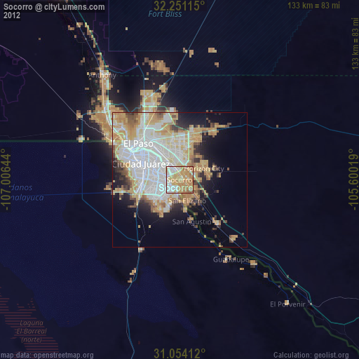
» Earth at Night: Flat Maps 2012, 2016