Juárez night lights from space
Night Light of Juárez (Chihuahua) from space (Mexico) Src. Average luminocity for 10x10km area is 98.4103% and for 50x50km: 46.3774%.
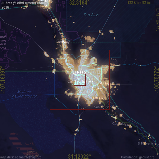
Analysis of Juárez night lights 2016
Square area 10x10 km:
 79.49%
90-99
15.38%80-89
1.47%70-79
2.56%60-69
0.18%50-59
0.92%40-49
0%30-39
0%20-29
0%10-19
0%0-9
0%Square area 50x50 km:
13.62%90-99
8.27%80-89
6.16%70-79
10.83%60-69
5.26%50-59
3.14%40-49
3.43%30-39
3.1%20-29
7.02%10-19
9.5%0-9
29.69%Clear (daylight) street map image can be seen on geolist.org.
Map coordinates:
32° 18' 59" North, 107° 9' 50.3" West
31° 43' 12.9" North, 106° 27' 39" West
31° 7' 12.8" North, 105° 45' 27.8" West
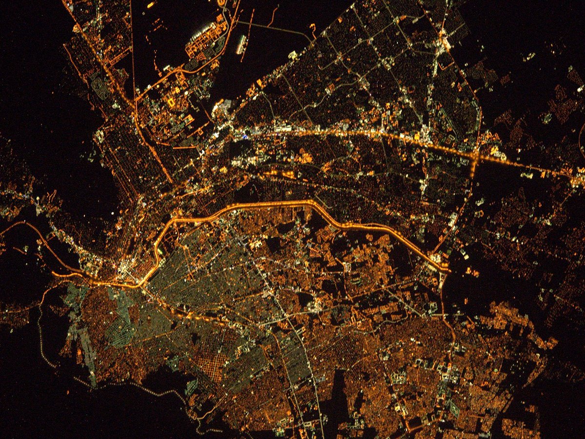
Fantastic image of Juárez from space taken by astronauts [src2], but I don't have information about it's orientation, scale or angle. If necessary, it was rotated manually, so North points approximately to upper direction. Click to zoom in:
Some cities around Juárez sort by population:
• El Paso, US
4.9 km =3 mi,  330°
330°
• Socorro, US
16.6 km =10.3 mi,  116°
116°
• Socorro Mission Number 1 Colonia, US
18.6 km =11.6 mi, 120°
• Horizon City, US
24.2 km =15 mi,  97°
97°
• Sunland Park, US
14.1 km =8.8 mi,  306°
306°
• San Elizario, US
23.3 km =14.5 mi,  130°
130°
• Fort Bliss, US
11.3 km =7 mi,  23°
23°
• Canutillo, US
25 km =15.5 mi, 328°
4013708 (p: 1,321,004)
Sources (retrieved 2019-11-25):
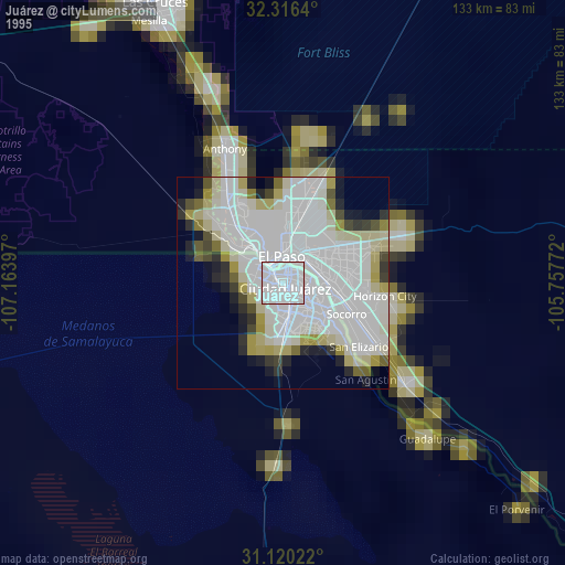
» NASA, Earths city lights 1995
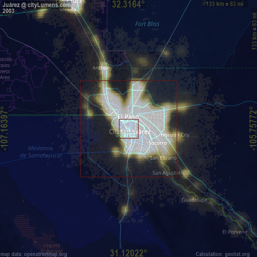
» NASA city lights 2003
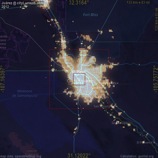
» Earth at Night: Flat Maps 2012, 2016
Src.2: Tim Kopra, Twitter/@astro_tim, 2016-05-25