Fabens night lights from space
Night Light of Fabens (Texas) from space (United States) Src. Average luminocity for 10x10km area is 12.5437% and for 50x50km: 17.2666%.
Analysis of Fabens night lights 2016
Square area 10x10 km:
 0.52%
0.52%90-99
0.87%80-89
0.17%70-79
2.62%60-69
1.92%50-59
1.57%40-49
1.92%30-39
0.87%20-29
4.9%10-19
3.5%0-9
81.12%Square area 50x50 km:
5.11%90-99
2.43%80-89
2.22%70-79
4.04%60-69
2.2%50-59
1.23%40-49
1.52%30-39
1.21%20-29
1.86%10-19
3.65%0-9
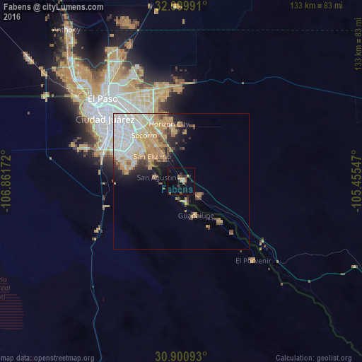
74.52%Clear (daylight) street map image can be seen on geolist.org.
Map coordinates:
32° 5' 59.7" North, 106° 51' 42.2" West
31° 30' 8.4" North, 106° 9' 30.9" West
30° 54' 3.3" North, 105° 27' 19.7" West
Some cities around Fabens sort by population:
• Juárez, MX
37.5 km =23.3 mi,  310°
310°
• Socorro
21.8 km =13.5 mi,  320°
320°
• Socorro Mission Number 1 Colonia
19.4 km =12.1 mi, 319°
• Horizon City
21.7 km =13.5 mi,  347°
347°
• San Elizario
14.2 km =8.8 mi, 310°
• Fort Bliss
42.1 km =26.2 mi,  325°
325°
• Homestead Meadows South
34.3 km =21.3 mi,  359°
359°
• Homestead Meadows North
38.6 km =24 mi, 357°
5521233 (p: 8,257)
Sources (retrieved 2019-11-25):
» Earth at Night: Flat Maps 2012, 2016