El Paso night lights from space
Night Light of El Paso (Texas) from space (United States) Src. Average luminocity for 10x10km area is 95.5366% and for 50x50km: 45.7267%.
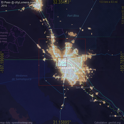

Analysis of El Paso night lights 2016
Square area 10x10 km:
 57.51%
90-99
24.73%80-89
6.96%70-79
9.52%60-69
1.28%50-59
0%40-49
0%30-39
0%20-29
0%10-19
0%0-9
0%Square area 50x50 km:
13.7%90-99
8.32%80-89
5.97%70-79
10.62%60-69
5.17%50-59
3.03%40-49
3.28%30-39
2.82%20-29
6.42%10-19
9.1%0-9
31.58%Clear (daylight) street map image can be seen on geolist.org.
Map coordinates:
32° 21' 16.7" North, 107° 11' 24.2" West
31° 45' 31.4" North, 106° 29' 12.9" West
31° 9' 32.2" North, 105° 47' 1.7" West
Fantastic image of El Paso from space taken by astronauts [src2], but I don't have information about it's orientation, scale or angle. If necessary, it was rotated manually, so North points approximately to upper direction. Click to zoom in:

Some cities around El Paso sort by population:
• Juárez, MX
4.9 km =3 mi,  150°
150°
• Socorro
20.9 km =13 mi,  123°
123°
• Socorro Mission Number 1 Colonia
23 km =14.3 mi,  126°
126°
• Horizon City
27.4 km =17 mi,  105°
105°
• Sunland Park
9.7 km =6 mi,  295°
295°
• San Elizario
28 km =17.4 mi, 133°
• Fort Bliss
9.3 km =5.8 mi,  49°
49°
• Canutillo
20.1 km =12.5 mi,  327°
327°
5520993 (p: 681,124)
Sources (retrieved 2019-11-25):
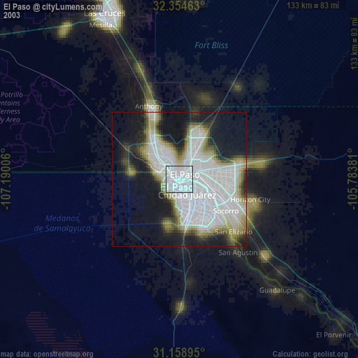
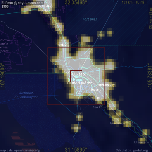
» NASA, Earths city lights 1995
» NASA city lights 2003
» Earth at Night: Flat Maps 2012, 2016
Src.2: Tim Kopra, Twitter/@astro_tim, 2016-05-25