Socastee night lights from space
Night Light of Socastee (South Carolina) from space (United States) Src. Average luminocity for 10x10km area is 72.544% and for 50x50km: 24.6958%.
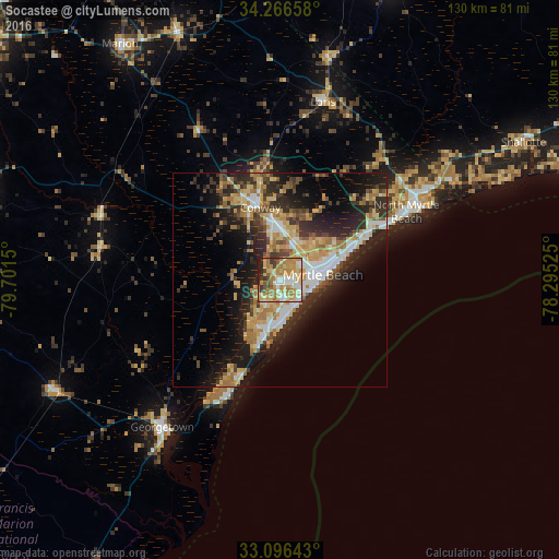
Analysis of Socastee night lights 2016
Square area 10x10 km:
 9.89%
9.89%90-99
14.84%80-89
17.58%70-79
19.23%60-69
19.05%50-59
4.21%40-49
2.75%30-39
6.78%20-29
5.31%10-19
0.37%0-9
0%Square area 50x50 km:
3.26%90-99
3.59%80-89
4.47%70-79
4.07%60-69
4.66%50-59
1.95%40-49
2.84%30-39
4.23%20-29
7.99%10-19
12.14%0-9
50.8%Clear (daylight) street map image can be seen on geolist.org.
Map coordinates:
34° 15' 59.7" North, 79° 42' 5.4" West
33° 41' 0.6" North, 78° 59' 54.1" West
33° 5' 47.1" North, 78° 17' 42.9" West
Some cities around Socastee sort by population:
• Myrtle Beach
10.4 km =6.5 mi,  86°
86°
• Conway
17.6 km =10.9 mi,  344°
344°
• North Myrtle Beach
32.9 km =20.4 mi,  63°
63°
• Red Hill
42.6 km =26.5 mi,  325°
325°
• Garden City
10.1 km =6.3 mi,  185°
185°
• Georgetown
43.8 km =27.2 mi,  218°
218°
• Little River
41.3 km =25.7 mi, 59°
• Murrells Inlet
15.3 km =9.5 mi,  195°
195°
4596208 (p: 19,952)
Sources (retrieved 2019-11-25):
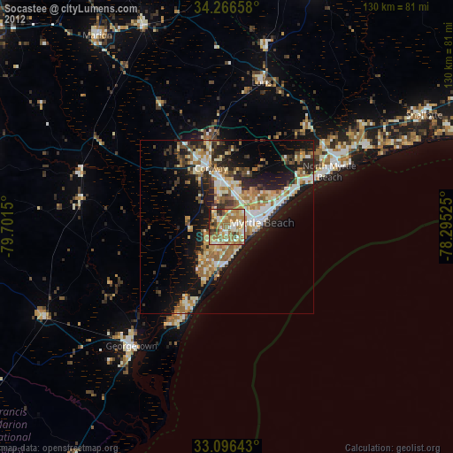
» Earth at Night: Flat Maps 2012, 2016