Sienna Plantation night lights from space
Night Light of Sienna Plantation (Texas) from space (United States) Src. Average luminocity for 10x10km area is 44.7917% and for 50x50km: 46.7654%.
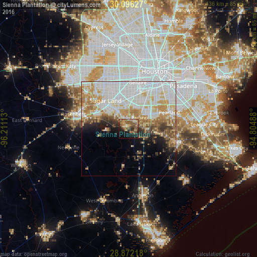
Analysis of Sienna Plantation night lights 2016
Square area 10x10 km:
 1.14%
1.14%90-99
3.6%80-89
8.52%70-79
9.66%60-69
8.71%50-59
17.23%40-49
7.58%30-39
5.3%20-29
8.71%10-19
21.4%0-9
8.14%Square area 50x50 km:
16.17%90-99
11.07%80-89
6.03%70-79
5.95%60-69
5.62%50-59
3.87%40-49
3.02%30-39
3.02%20-29
3.5%10-19
5.29%0-9
36.45%Clear (daylight) street map image can be seen on geolist.org.
Map coordinates:
30° 5' 46.6" North, 96° 12' 40.1" West
29° 29' 9.9" North, 95° 30' 28.8" West
28° 52' 19.8" North, 94° 48' 17.6" West
Some cities around Sienna Plantation sort by population:
• Pearland
23.1 km =14.4 mi,  68°
68°
• Sugar Land
19.3 km =12 mi,  320°
320°
• Missouri City
15 km =9.3 mi,  348°
348°
• Fresno
8.3 km =5.2 mi,  44°
44°
• Stafford
15.2 km =9.4 mi,  341°
341°
• New Territory
20.6 km =12.8 mi,  305°
305°
• Greatwood
17.9 km =11.1 mi,  294°
294°
• Manvel
14.8 km =9.2 mi,  100°
100°
4728608 (p: 13,721)
Sources (retrieved 2019-11-25):
» Earth at Night: Flat Maps 2012, 2016