Sugar Land night lights from space
Night Light of Sugar Land (Texas) from space (United States) Src. Average luminocity for 10x10km area is 94.4663% and for 50x50km: 66.5973%.

Analysis of Sugar Land night lights 2016
Square area 10x10 km:
 42.66%
90-99
36.11%80-89
9.72%70-79
10.91%60-69
0.6%50-59
0%40-49
0%30-39
0%20-29
0%10-19
0%0-9
0%Square area 50x50 km:
27.41%90-99
16.53%80-89
8.14%70-79
7.33%60-69
6.17%50-59
4.06%40-49
3.29%30-39
2.59%20-29
3.89%10-19
6.04%0-9
14.55%Clear (daylight) street map image can be seen on geolist.org.
Map coordinates:
30° 13' 44.6" North, 96° 20' 17.1" West
29° 37' 10.8" North, 95° 38' 5.8" West
29° 0' 23.7" North, 94° 55' 54.6" West
Some cities around Sugar Land sort by population:
• Alief
10.8 km =6.7 mi,  20°
20°
• Missouri City
9.4 km =5.8 mi,  90°
90°
• Mission Bend
8.7 km =5.4 mi,  340°
340°
• Stafford
7.5 km =4.7 mi, 93°
• Pecan Grove
9.4 km =5.8 mi,  274°
274°
• New Territory
5.3 km =3.3 mi,  237°
237°
• Four Corners
5.9 km =3.7 mi, 337°
• Greatwood
8.3 km =5.2 mi,  208°
208°
4734825 (p: 88,156)
Sources (retrieved 2019-11-25):
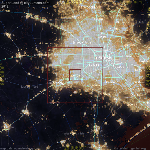
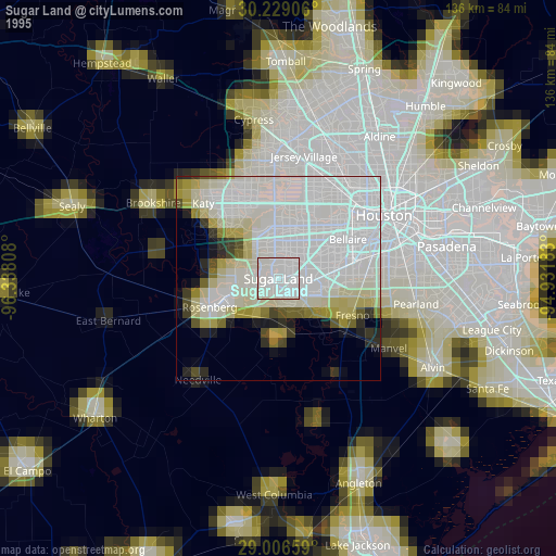
» NASA, Earths city lights 1995
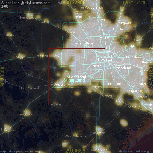
» NASA city lights 2003
» Earth at Night: Flat Maps 2012, 2016